Bolam Pass Colorado, CO Segment 26 Bolam Pass to Hotel Draw Road
“The civilized man has built a coach, but has lost the use of his feet.” Ralph Waldo Emerson
August 19, 2004. We get up early and eat our continental breakfast at the hotel. We drive to Hotel Draw Road and leave Tim’s truck at the trail head. We take off in my truck to drive up Bolam Pass. After a mile or two my truck stalls. It takes a little bit to get it started and we are on our way again. Then it stalls again. Now we are trying to decide whether to continue up the Pass or not. We are about half way there and I get it started once again and drive on. After another stall, we continue and make it to the top. Was this the right decision? Is my truck still there? Did we hike? Keep reading and all these answers will be yours. We didn’t drive up here to turn around and coast downhill, so we put on our gear and prepare to start hiking.
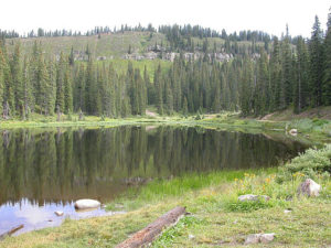
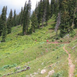
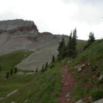
The trail starts at Celebration Lake, a small pond like body of water that was still, and reflecting this fine Colorado morning. There is a good chance of rain today, and the cloud cover is out in force this morning. We start our hike a little after 9:00 A. M. We haven’t gone far when the call of nature takes Tim off the trail. Carol and I hike on as we round a ridge of Hermosa Peak. We can look south from here and see the road that we had taken up to Bolam Pass. Hermosa Peak is just to our west and we will gradually hike around it. As we pause to wait for Tim and Jill, we spot a herd of Elk in the valley below. There are maybe 20 of them feeding in a meadow. By the time Tim and Jill catch up to us the elk have moved off into the woods.
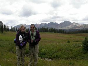
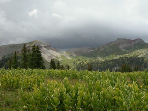
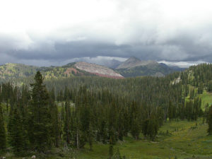
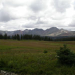
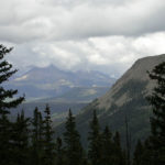
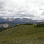
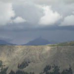
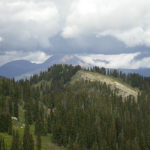
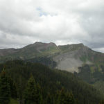
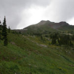
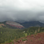
We eventually come to a meadow that opens up to fantastic views to the north. There is one peak that just sticks up like a chimney. We can also see the storm clouds building in that direction and it is only around 10 o’clock. We stop to take some pictures with Flattop Mountain and Grizzly Peak in the background. A half hour later, we stop to take a snack break. We could have scrambled up Hermosa Peak from here if we had the inclination to. We didn’t and as it starts to sprinkle on us we don our rain gear and continue on. As we get around Hermosa Peak, we start to climb and have great views looking back toward Bolam Pass where we had started. We top out on a ridge and take some dramatic pictures of the surrounding peaks with the storm clouds building all around them. Tim scrambles up to the top of a small ridge and finds a geocache. We are geocachers and this is a surprise to find one by chance. There is a sign at the top, which proclaims this spot as Beach Peak. Geocaching, for those who don’t know, is a sport where items (caches) are hidden throughout the country and coordinates are placed on a website. You then use a GPS and the coordinates to find the caches, (different types of containers) and trade items if you want. Anyway, we sign the logbook and take some pictures before moving on. From here, the trail descends slightly before starting to climb again. We top a ridge around noon and decide to stop for lunch before the rains catch us.
At our lunch spot, we can see that we have to descend into the valley below, before we begin our climb over Black Hawk Pass. We see some ominous looking clouds over the pass, and hope that they will move out before we get there. We have about an hour or more of hiking to reach the pass. But for now we enjoy our lunch surrounded by natures beauty. We start hiking again and descend into a beautiful lodgepole forest. It is very lush here as this has been a fairly wet year. Colorado has been experiencing a four-year drought but it appears that it may be over. The spring was wet and the summer has seen a more normal pattern of storms and rainy afternoons. We hope that this trend stops for at least today. As we descend into the valley, we break out of the forest, and into a more open meadow area. Soon, we will start our ascent up to the pass.
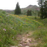
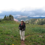
The clouds are still there, but appear lighter and less threatening than before. Carol is starting to have problems with her chest pains again, so we have slowed up. Tim and Jill are now quite a bit ahead of us, but still in sight. As we start to climb we pass fields full of wildflowers. There is a stream running through here and it is nourishing the surrounding area. The storm clouds behind us appear to be moving this way so we try to push on. It is my turn to help Carol, as I carry both her pack and my day pack, to help her condition. She is still moving fairly slow but better than before. We can see Tim and Jill almost at the top of the pass. We still have quite a bit of climbing to do. The good news is that after the pass, it will be mostly downhill for a while.
We finally top out at just less than 12,000 feet. From Black hawk Pass; we can see the La Plata Mountains to the south. The views to the north are spectacular and some peaks are obscured by the storm clouds. From the pass, we start our descent into the Straight Creek drainage. The creek does not appear straight to me, but then I didn’t name it. We eventually cross the creek where there is a small waterfall up above us. We hike on a short distance further and stop for a well-deserved break. We are back below tree line and entering more lodgepole forest.
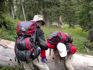
At one point there is a huge fallen tree across the trail. Tim helps Carol over, and then Jill slips, as she makes the attempt over it. Luckily, it is only her ego that is bruised, although she did take quite a spill. We continue on and as we hike across a ridge, we begin to get views of the road we drove up to Hotel Draw, and the mountains we have hiked over and from. We are getting close to the end and Carol is really dragging. She musters up her last bits of energy and we get to Tims truck and the trail head. Now the only question is will my truck make it down from the top of Bolam Pass? Here are the stats for today. We started at 9:00 A.M. and finished at 3:15 P.M. We hiked a total of 14.3 miles with a moving average of 3.6 miles per hour and an overall average of 2.2 miles per hour. There was a total ascent of 1,840 feet and our high point today was 11,994 feet. Now for the rest of the story: We pick up the truck and it stalls several times coming down the mountain. However, we manage to make it back to the hotel. The next day we left for home. It stalled twice but started up again, and then near Glenwood Springs, it stalled again, and it took about 15 minutes to start. This caused us some concern the rest of the way home but we made it. This is not quite the end of the story. I replaced the gas filter at home and it worked fine after that, until December, when we got stuck in Breckenridge. Tim and Jill towed us home from there, and it turns out that the problem was Carol. Well kind of anyway, as there is a fuel cutoff switch under the passenger side carpet, up on the front console that was loose. Carol and her big feet were tugging on it just enough to stop the flow of fuel. As she moved around, it would work again, hence the inconsistency of the whole event. With Tims help we replaced the wires and connectors to this switch to permanently fix the issue. All I can say is what a dumb place to put a switch like that. So, that is how our trip ended. We were going to try and hike one or two more segments but Tim ended up with some ear imbalance issues so this was our last Colorado Trail hike of the season. Hope you enjoyed reading about it, I know we enjoyed living the adventure. That’s all until next year. Segment 26 Miles Hiked 14.3 Total C.T Miles Hiked 285.1
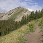
- Trail From Celebration Lake
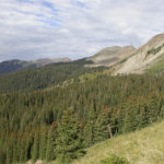
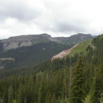
- Looking Down Hemosa Creek Valley
- Hermosa Peak
- South Flank of Hermosa Peak
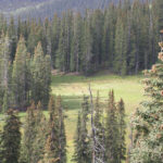
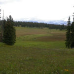
- Meadow With Elk
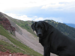
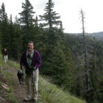
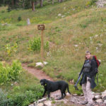
- Charlie Waiting For Tim
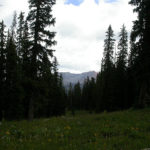
- View Through the Trees
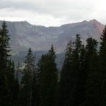
- Mountains North of Hermosa Peak
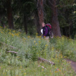
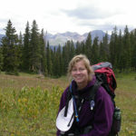
- Carol in the Woods
- Dolores River Basin
- Dolores River North
- Building Clouds
- Carol Flattop Mountain in Back
- CNC West Side of Hermosa Peak
- Ridges Above Trail
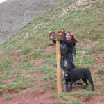
- Woman With Dog Seeks a Man Named Tim
- Looking Back Towards Bolam Pass
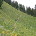
- Uphill Tread
- San Juan View
- Storms Over Chimney Looking Rock
- Clouds Over the Peaks
- Looking Toward Telescope Mountain
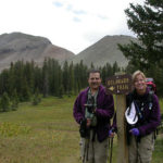
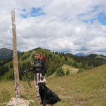
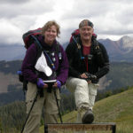
- It Says Beach Peak 11900 Feet Carol and Tim
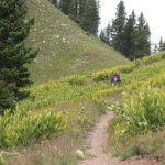
- Whats Around the Bend
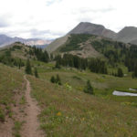
- Trail Along Ridge
- The Notch is the Pass
- CNC Valley Below Blackhawk Pass
- Blackhawk Mountain
- Basin Below Blackhawk Pass
- Follow That Trail
- Trail Up to Blackhawk Pass
- Tim and Jill Specks Near the Top
- Halfway Up to Blackhawk Pass
- Do They Look Darker
- I Think I Will Climb This Pole
- CNC Still Trying For the Top
- CNC On Blackhawk Pass
- Carol Made It Over the Top
- Jill and Chevy Crossing Straight Creek

No Comments Yet