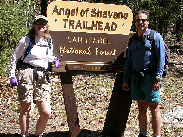
Angel Of Shavano Trail Head, CO Segment 14b Angel of Shavano Trail Head to Foose Creek
“For these ambitious hikers, the CTs statistics are extraordinary. Its altitude reaches 13,334 feet, and the trail regularly hovers above 10,000 feet. The CT traverses the Continental Divide eight times, passing through seven national forests, six wilderness areas, and five river systems. It also skirts several of Colorado’s 14,000-foot peaks, including Mount Elbert, the second highest in the continental United States” Unknown
CNC Starting 2005
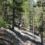
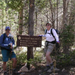
May 22, 2005. We have decided to divide Segment 14 into two separate day hikes. We are doing the second half of the segment first, as it has a lower elevation, so we shouldn’t hit any snow. We will hike from Angel of Shavano Trail Head to Foose Creek. This is our first hike of the year and it is a nice day, although perhaps a little too warm, for the elevation we will be hiking. We drove from Frisco to drop off the vehicles, so we get a fairly late start after completing our shuttle drop off. We start the hike at 11:00 AM. It feels good to be on the trail again. We begin by crossing a bridge over the North Fork of the Arkansas River. We climb to a ridge for the first 1.6 miles, which is the high point of the hike at 9,760 feet. Although the altitude is not that high, the long winter layoff is contributing to some huffing and puffing.
The Angel of Shavano
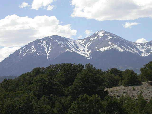
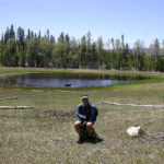
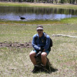
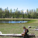
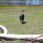
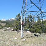
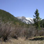
As we climb we get a few nice views of Mount Shavano and the Angel of Shavano. The Angel of Shavano is formed by snow in the crevasses of the mountain. We soon come to a meadow with nice views and Dry Lake. Dry Lake is not dry at all this time of year. Chevy has some fun splashing around in the lake. We take a lunch break here as it is too nice to pass up. After lunch, we pass through an area that has been logged and is trying to recover. It is full of young lodgepole pines, 5 to 6 feet in height. We descend into Lost Creek Drainage and cross a jeep road into an open meadow area, which would be great for car camping. We break out into the open and cross under some power lines. Jill starts to climb up one of the towers for reasons that escape me.
Highway 50 to Monarch Pass
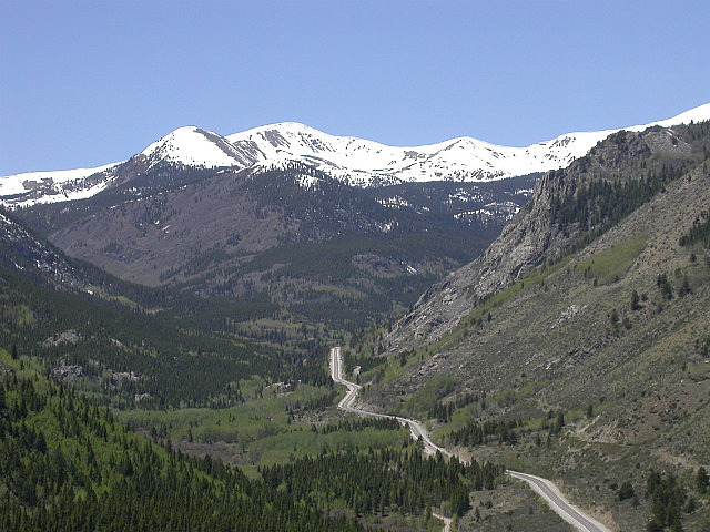
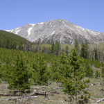
We soon get great views of Highway 50 below us and the snow covered peaks to the west. We start our descent down to the highway. Along the way are barrel cactus’s, or is it cacti, in bloom, with pink flowers. We cross highway 50 and start the first 2.9 miles of Segment 15 along Foose Creek Road. It is a steady gradual climb along the road. The sun is out and it is extremely hot and dry. We are definitely dragging butt. Our water runs low as we plod along. We make it to the truck and have a, oh so good, cold drink. We did 8.8 miles. We started at 11:00 AM and finished at 3:20 PM. The total ascent was 2,152 feet. The high point was 9,760 feet. Our moving average was 2.8 miles per hour and our overall average was an even 2 miles per hour. This was pretty good for the first outing of the year.
-
- Mount Shavano
-
- CNC Are Climbing Too
-
- I’m Not Crapping
-
- Just Rock Sitting
-
- Chevy’s Having Fun
-
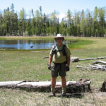
- Tim at Dry Lake
-
- Got Any Food?
-
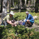
- Tim and Charlie at Lunch
-
- Logged Out Area
-
- Comments Please!
-
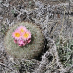
- Bloomin’ Cactus
-
- Foose Creek View
-
- Not Today!
No Comments Yet