March 16-18, 2018
We leave St George around 1015 and head south on I-15. Our first stop is Mt Everest. No, we are not climbing the mountain, but rather having Indian food for lunch. We have a nice lunch and then head out of Las Vegas.
Where is the Confounded Bridge?
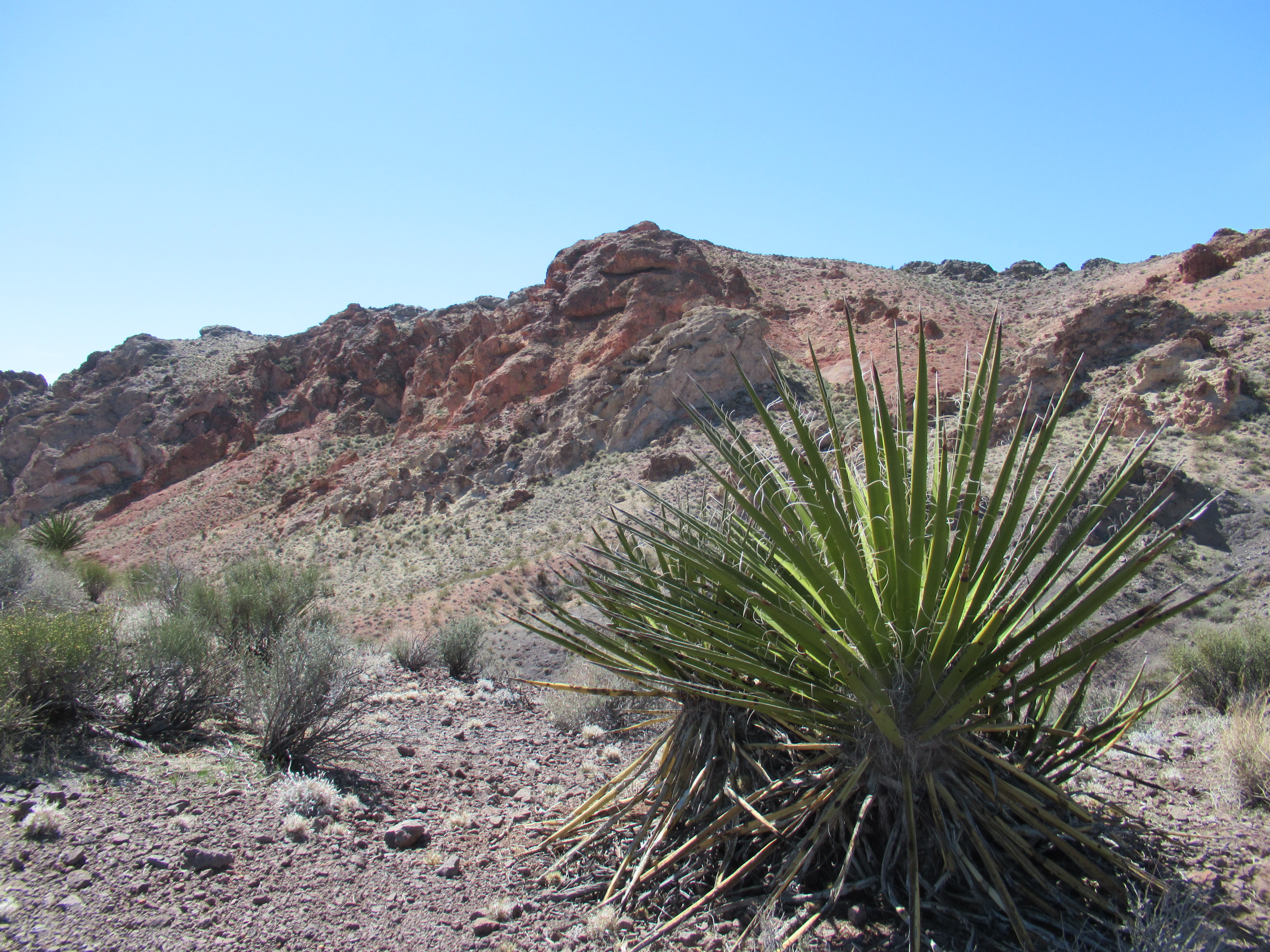
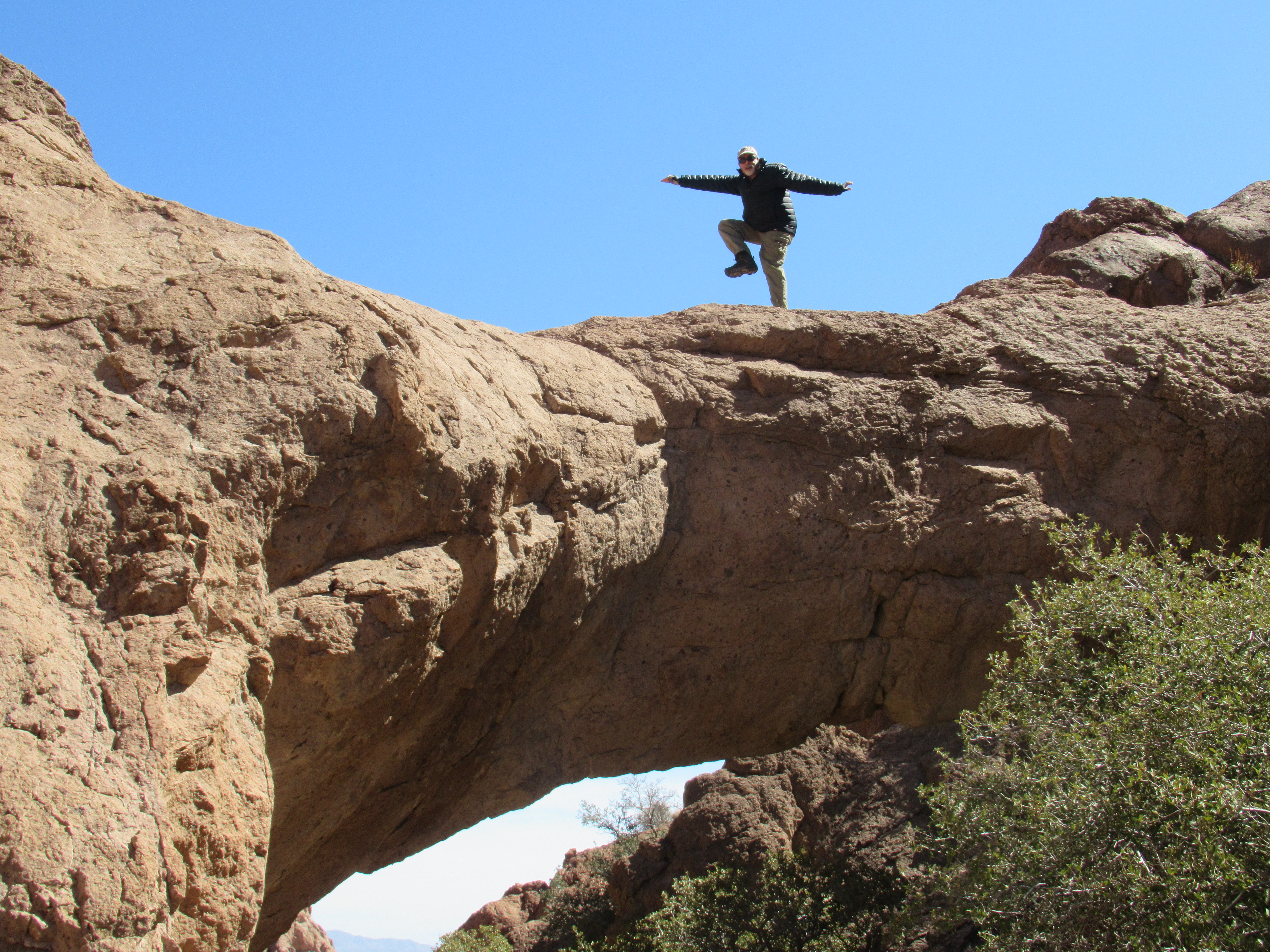
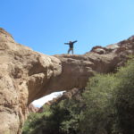
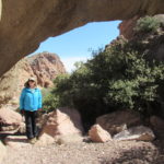
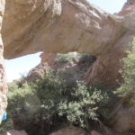
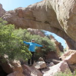
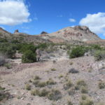
Our next stop is near the small town of Nelson, Nevada. I have read about a natural bridge that you can hike to and have coordinates for it in my GPS. We turn off Highway 95 and take the paved side road that goes to Nelson and Lake Mead. We find a spot to park near a dirt road where the GPS seems to be pointing. There is no sign or anything indicating that this a where we should park for the bridge. We load up our packs and follow the road. The road dead ends as we crest a hill, but there is a trail of sorts to follow. We follow it along a ridge and then down into a wash where it disappears. We head in the direction where the GPS is pointing up hills and into ravines. The path is not to difficult and the area is very nice. We end up in another wash and follow it to a larger wash which eventually leads us to the bridge.
On Tehatticup Bridge
There is no one else around and I scamper up (actually carefully traverse) a fairly steep rocky hill to try to get on top of the bridge. Carol waits at the bottom and takes some pictures of me when I make it. I can see the edge of Lake Mead from the top. When I climb down, we have a snack before heading back out. The way out is marked by the occasional blue paint splat on the rocks. We basically stay in the larger wash and then end up where we followed the trail in from the end of the road. When we reach the car, I tinker with the idea of climbing a peak across the road that has a geocache on it, but Carol nixes the idea so we drive back to the highway and on to Laughlin. We check in to the Edgewater for our three free nights and after 2 attempts at changing our assigned room, which we did not like the location of, I sweet talk a clerk into a better room on the river away from the hustle bustle.
Geo Hunter
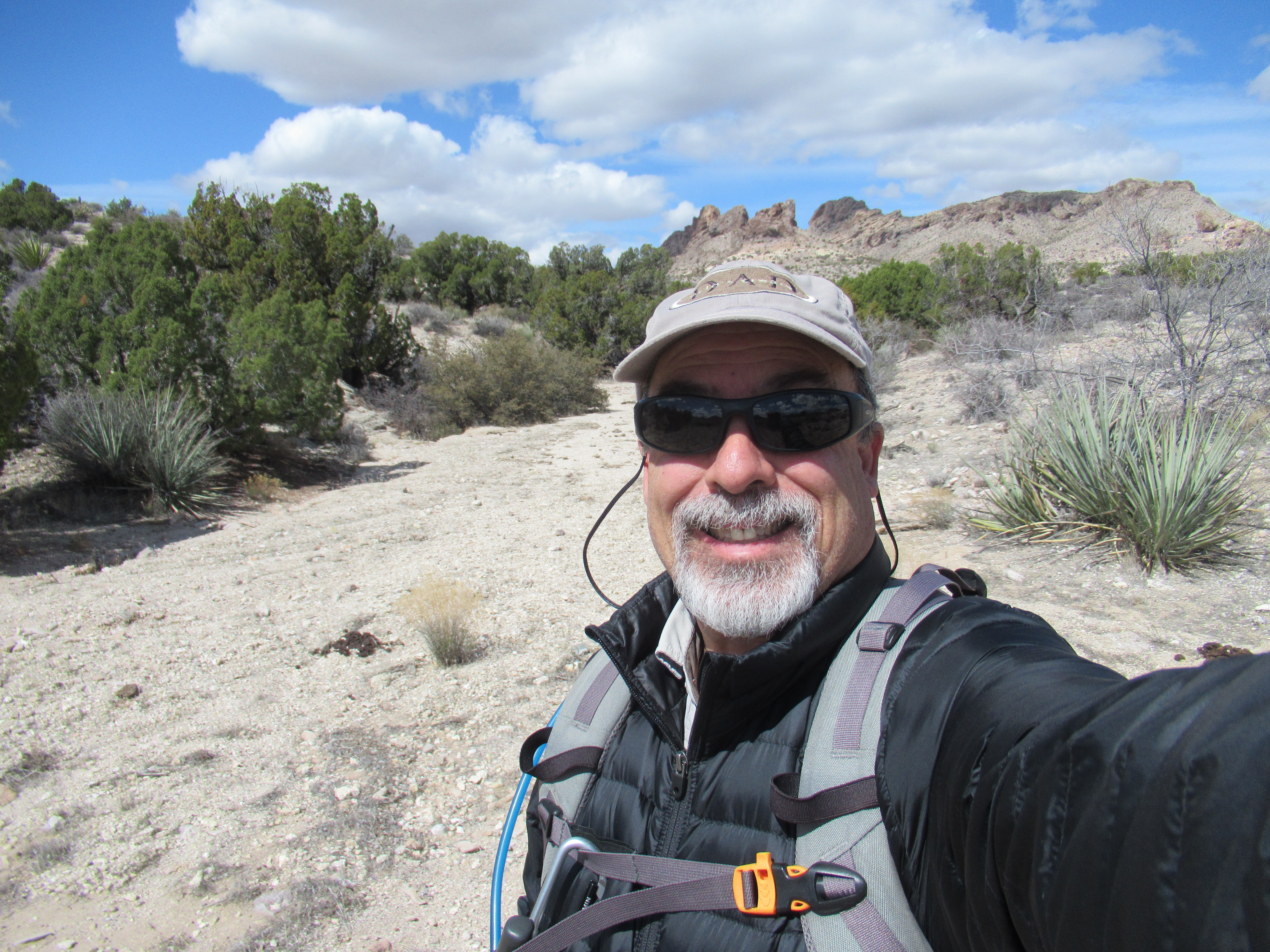
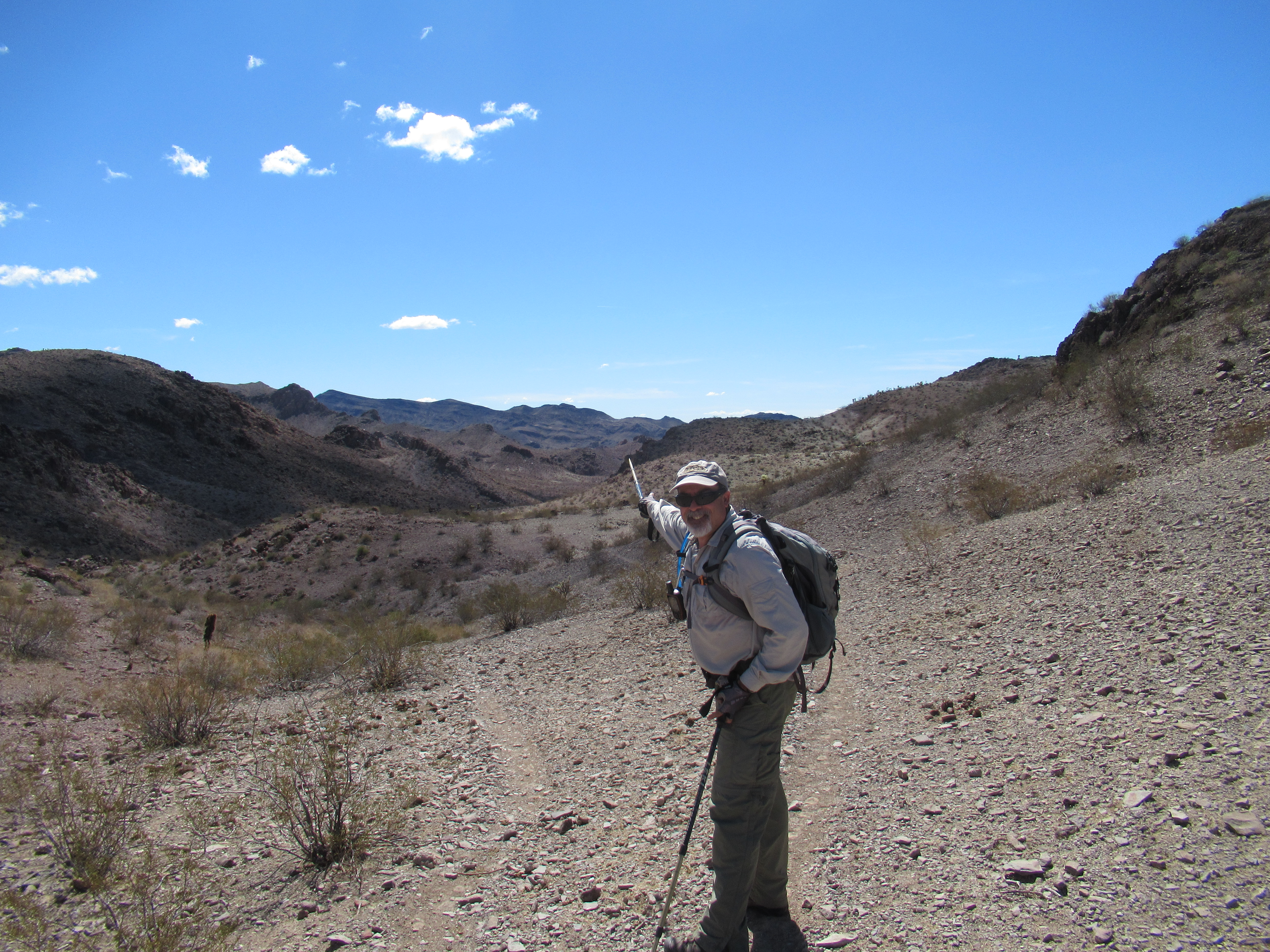
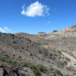
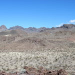
We wake up the next morning and head up Highway 68 to an area near where we have hiked before. We are trying to hike to a geocache and have a bit of trouble finding a road in but eventually turn off on a broken up paved road which turns to dirt. When we get about 2 miles from the cache, we park and head out across the desert. There are no trails here but the terrain is not too bad. We just aim towards what looks like a canyon in the distance. We reach it and hit a dirt road and leads to a different cache.
Near Our Lunch Spot
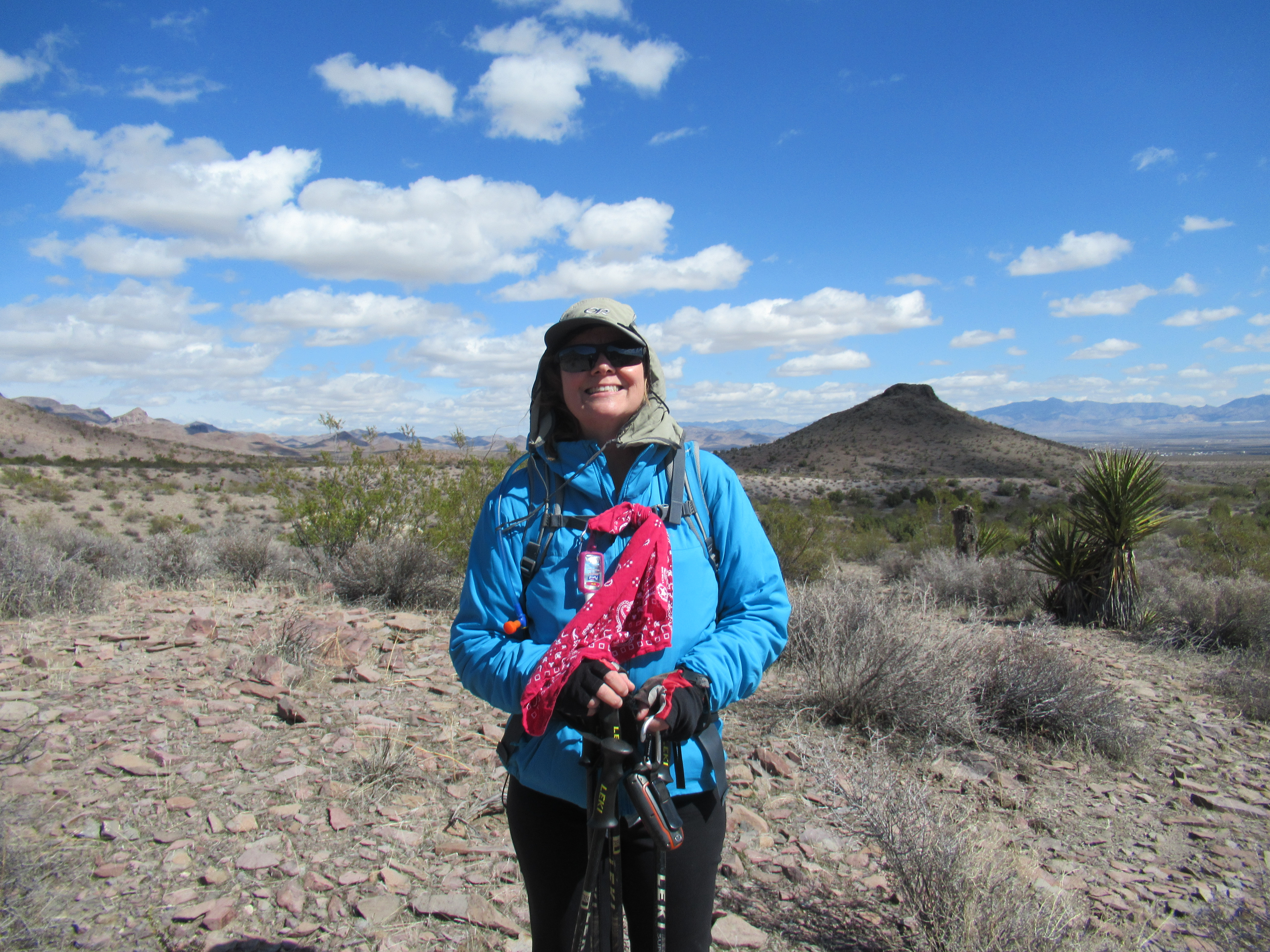
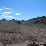
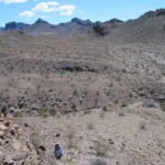
The problem is it up a steep hill and we can’t quite figure how far but decide to go for it. We thought we were skunked but then I climb a rocky knoll and spot it on the cliff face across from it. Back down and then a reach up and we find it. Skunkage averted, we continue on to the original cache. We follow a dirt road up and down a canyon, then back up. There is a pretty good breeze as we top out and the road levels. We find the cache and then find some shelter from the wind behind some trees and have lunch. It is a pleasant spot and after eating we return the way we came. The hike was 5.7 miles round trip.
Green is In
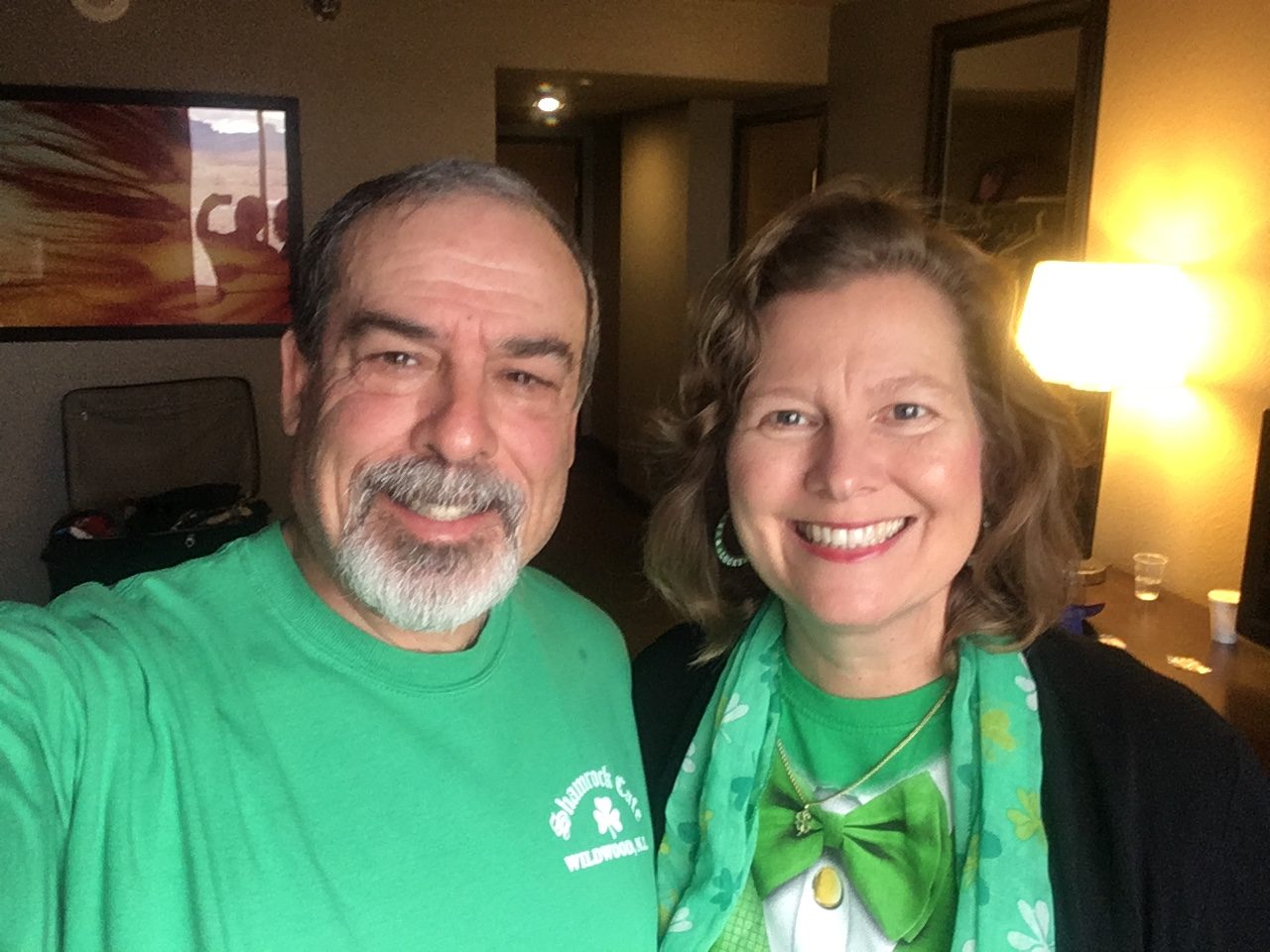
We go back to town, have in and out burger for an early dinner and return to the Edgewater to shower. We walk across the street and check out the going ons at the Tropicana. They have an Irish band outside and another band inside playing some rock music. Even though it is St Patty’s Day, we opt for the rock music. After the Tropicana, we head back to our hotel where they have an Irish festival along the river with bands and beer. This finishes our St Patty’s Day in Laughlin.
On Sunday, we have a hike planned in the Arizona desert along old Route 66. It is about a 40-minute drive to get to the area we have chosen to hike.
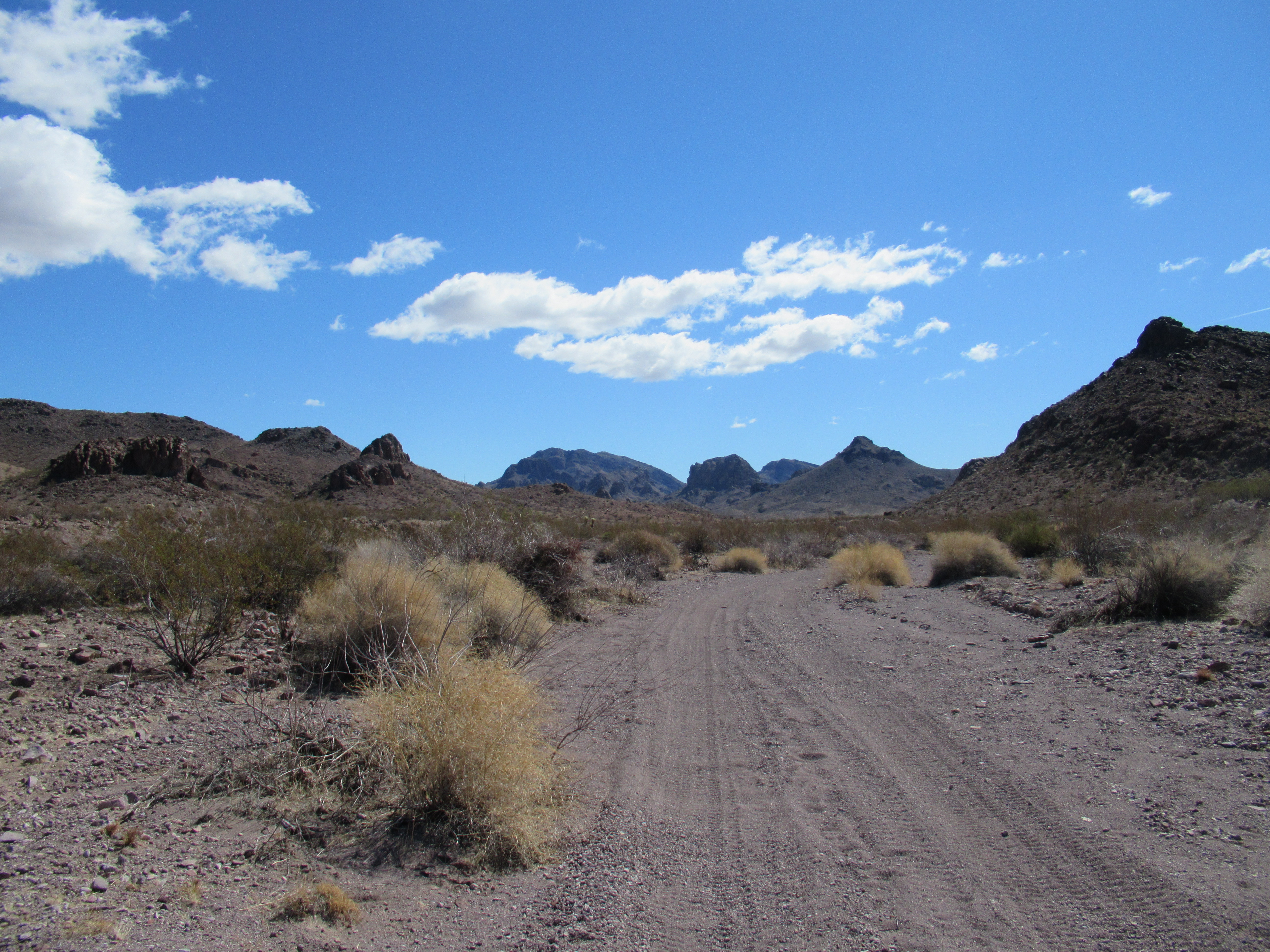
Beautiful Area
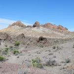
We have been to a few other spots nearby and really like it here. We never seem to run into people out here, mostly because there are no trails and the few dirt roads basically follow old washes and are more suitable in spots for ATVs than vehicles. We find a small hidden spot to park and start out across the desert. The other thing that may keep people away is that near the paved road, the terrain here does not look that special. However, once you get a mile or so in, it changes to a wonderland of hills, rocks, washes, and just plain interesting formations. We find our first geocache and then decide to attempt another that is about a mile as the crow flies.
Follow the Donkey Trail
The path we take, leaves the wash we have been walking in and climbs up a small ridge. We top out and find a trail. It is not a hiking trail but a well-defined donkey path. It makes for easy walking as the donkeys seem to have figured out the best route along the hilly and jagged terrain. We climb through a saddle and hike above another large wash. We stay up high until we get within a tenth of a mile of the cache and then work our way down into the wash. We almost get cliffed out but manage to scramble down carefully into a rocky spillway.
Danger, Will Robinson
We make it into the wash only to discover that the cache is back up about halfway near where we descended. I go to get it and after that we sit and have lunch in our own private piece of paradise. It is really beautiful in here and we both enjoy the quiet of the desert. Heading back, we decide to try a side canyon to another cache that was further up the first wash we left earlier. We are not sure if we will be able to get there from here, but we are both feeling a bit adventurous. We follow another donkey trail part way before it disappears. We can see a saddle up ahead and Carol chooses a route to climb up it. It turns out to be a good one (she must be gaining some skills) and we top out in no time. There is another well-defined path here and we follow it down another small side canyon.
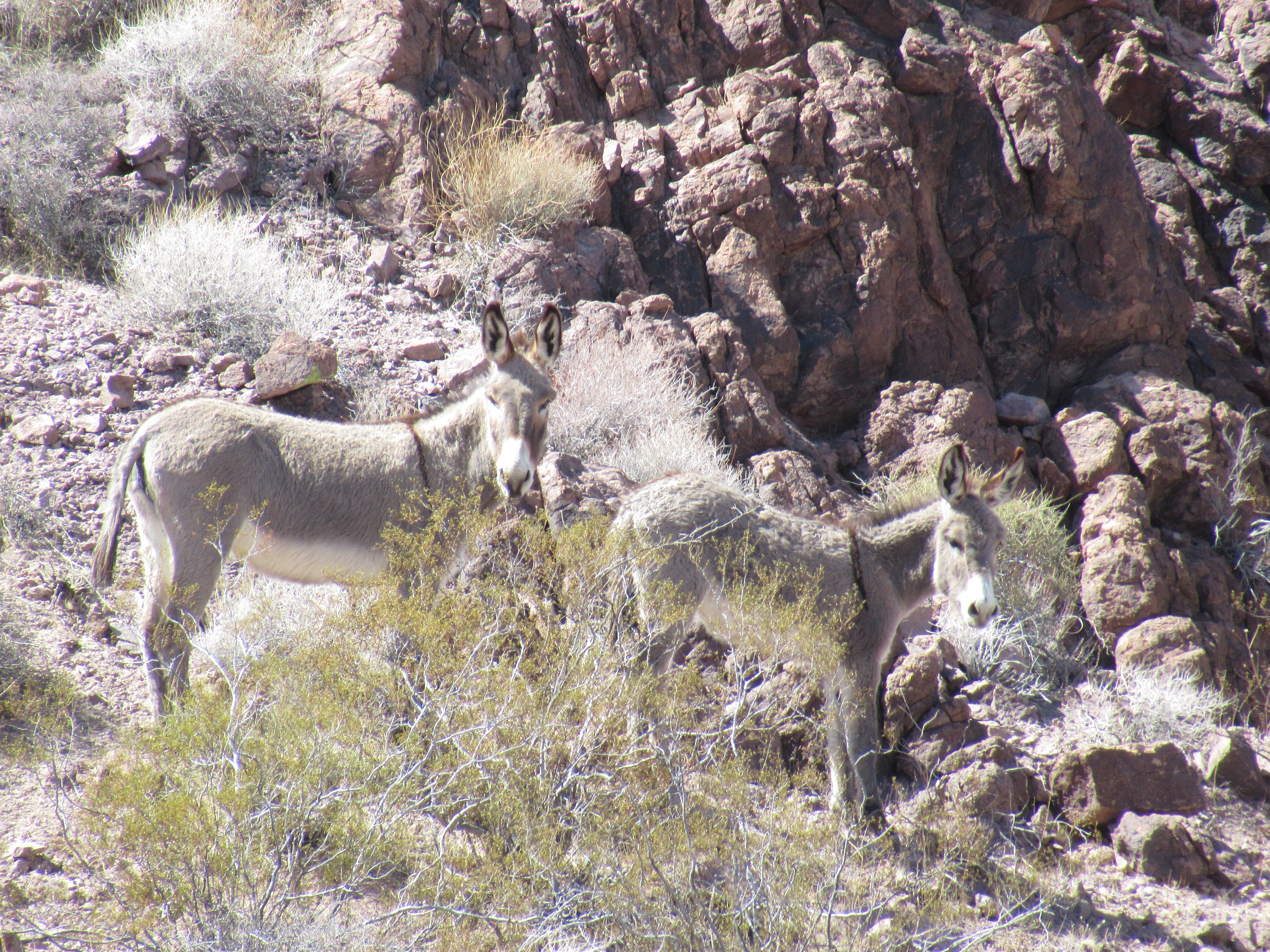
Donkeys
As we approach the cache, we hear a loud noise and look up to see a mother donkey and her baby about 100 feet in front of us. I get some pictures and video while mom continues to let us know that she does not like us being near her and baby. After finding the cache, we start hiking back in the wash and spook the donkeys again. She hurries her baby along but they are moving in the same direction as us. This cause her to stop and bray at us several times, then move along, stop and bray, move, bray, a repetitive ride they won’t get off.
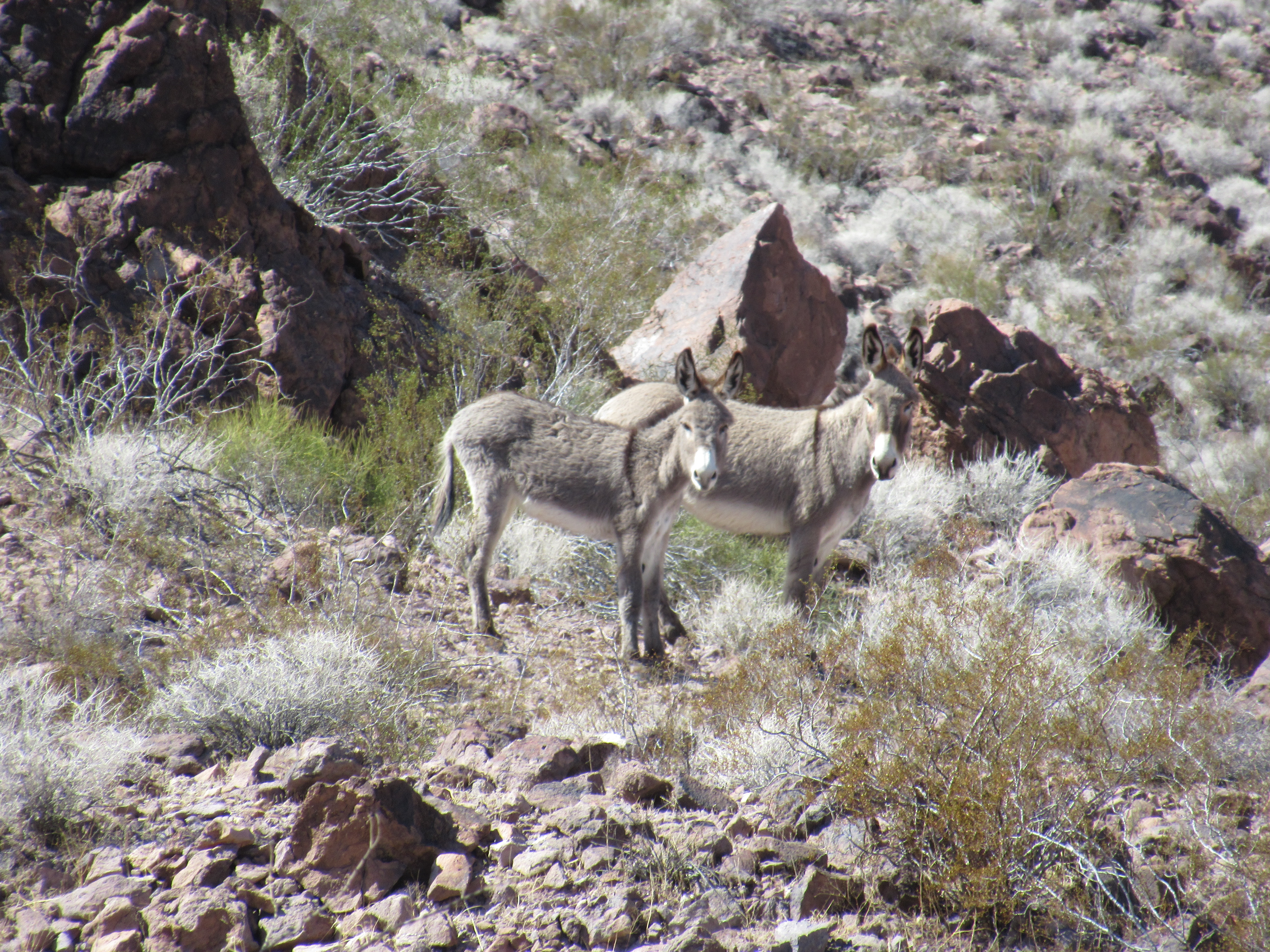
Are You Following Us?
We try to give them more room by veering out of the wash but that doesn’t work. We lose sight of them as they go into a gully and when we see them again we are side by side and finally we pull in front as they let us pass. There is no more excitement as we hike back to our vehicle and return to Laughlin. We hiked 6.75 miles today. We stop at the grocery store for some bread as we will be camping the next three days. In Laughlin, we freshen up and then head to Harrah’s because we have a 2 for 1 buffet. It turns out to be very good, with prime rib, large shrimp fra diavlo, and other tasty treats. I even get Carol some chocolate covered strawberries for dessert. After dinner, we stroll along the river by our hotel, where there is still music and celebration going on until 8 o’clock. We gamble a little and then head to bed as we want to get a fairly early start for tomorrows drive. It has been another nice stay in Laughlin.
-
- Near Nelson, Nevada
-
- Natural Bridge
-
- Carol Under the Bridge
-
- Tehatticup Bridge
-
- Learning To Fly
-
- From the Geocache Hill
-
- So Beautiful
-
- Another geocache View
-
- Awesome
-
- Always Looking Up to Me
-
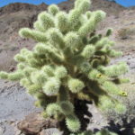
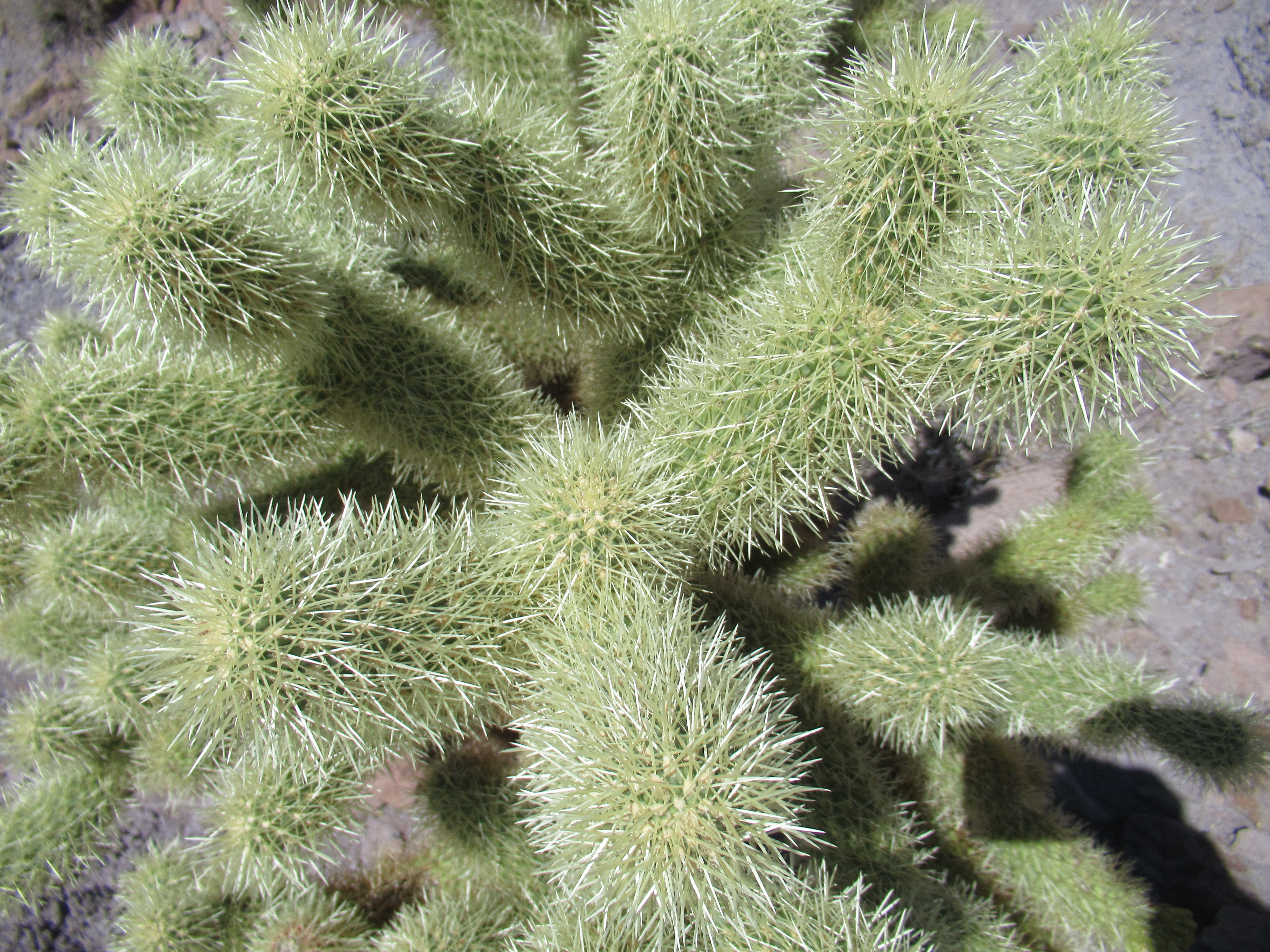
- Healthy and Spiny
-
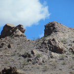
- I See a Lion and a Snail
-
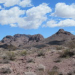
- Lunch Spot View
No Comments Yet