Today we plan to tackle the infamous Hat Creek Rim. This is a 30-mile waterless stretch known for its hot temperatures and little to no shade. Our plan is to Hike into the small burg of Old Station this morning, hang out until late afternoon and hike on to the rim when it is cooler.
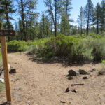
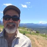
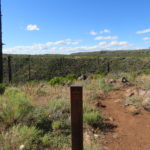
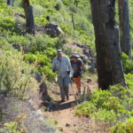
Last night it only rained for about a half hour. Other than that, we had a good night’s sleep. It was quiet and as an added bonus, no bears came through to disturb us. This morning is pretty cool at 36 degrees so we stay snug for a little bonus rest. We get going around 8 o’clock. The walk is fairly pleasant and we run into Sunshine who we met at Drakesbad. After some conversation, we continue on to the intersection of the PCT and the Spatter Cones Trail.
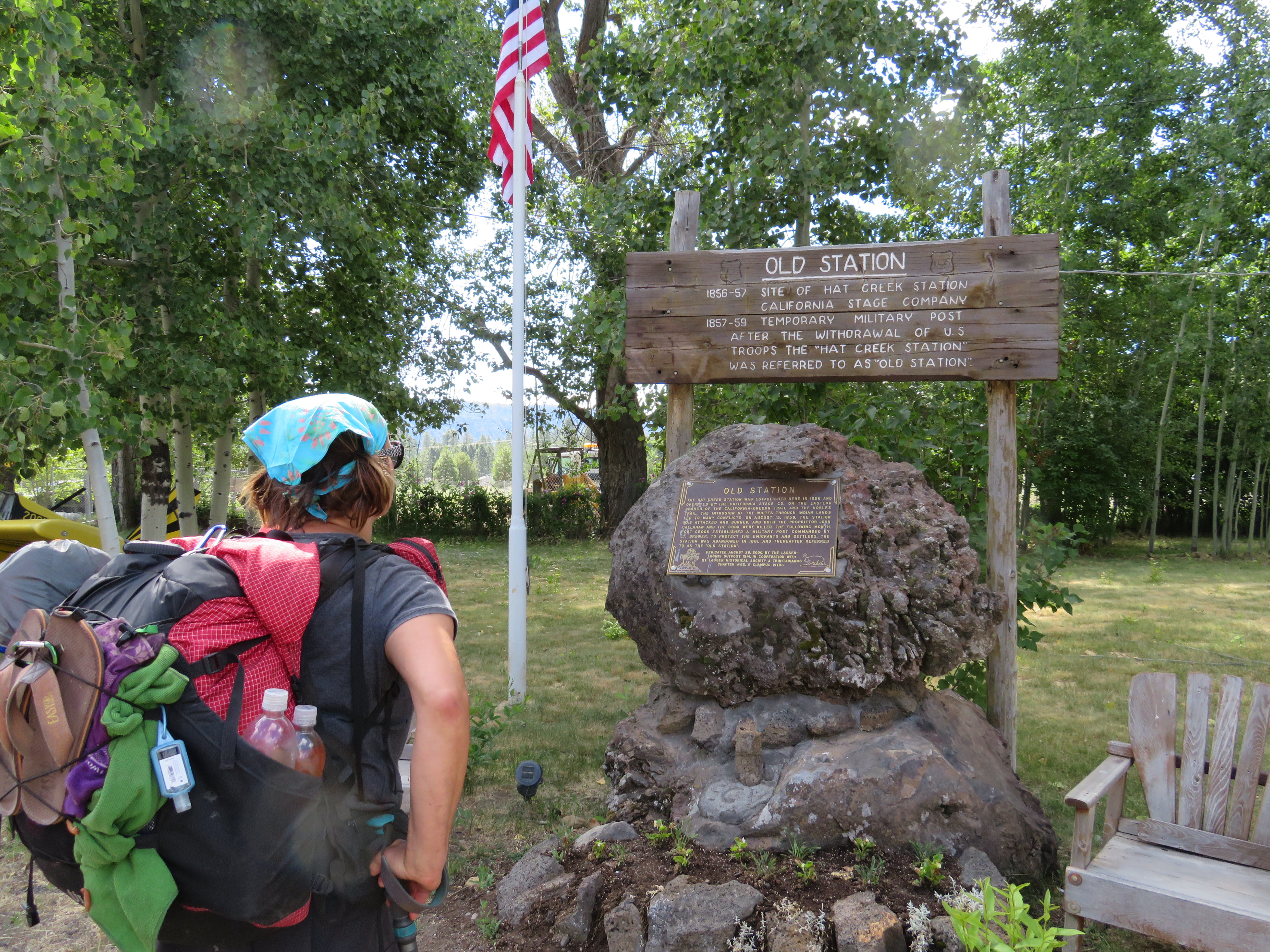
Old Station
We are taking this spur trail to the Highway where we have about a 1.5-mile road walk to JJs Café in Old Station. We plan on having a late breakfast, early lunch at the café. We arrive at JJs at 1000 and settle in to a table outside. It is a beautiful morning with cool temperatures due to the storm that passed through last night. We order breakfast, me a pulled pork scramble, and Carol a Fiesta scramble. Shannon and Carol also start to indulge in some binge coffee drinking. As we are waiting for our food, Sunshine walks up and joins us. We are also wondering if Joy will show up as she stated several times she would meet us at JJs before noon. Our breakfast and company is good and we talk to a few people from the area as well. Apparently, they got quite a downpour yesterday so we picked the right spot to camp as we were spared the storms fury. Joy does not show up leaving us to wonder if she is ahead, behind, or gave up. We decide that since the weather is so cool and nice, there is no reason to hang out all afternoon here. We load up on water and head to the mini mart next door to buy dinner for the night. While planning this section with the expected lack of water, we had decided to buy food at the mini mart which did not require water for cooking. We are pleasantly surprised to find that they make hoagie style sandwiches to order. Carol and I order roast beef hoagies as our meal for this evening. We also buy some Gatorade for added electrolytes. Food and drink loaded in our packs, we head out on the road to where it joins the trail.
We hit the trail at 1245 looking at the Hat Creek Rim rising above us. We will gain about 550 feet in elevation to get up to the rim. Shannon and Carol outpace me, obviously due to the caffeine high from their coffee.
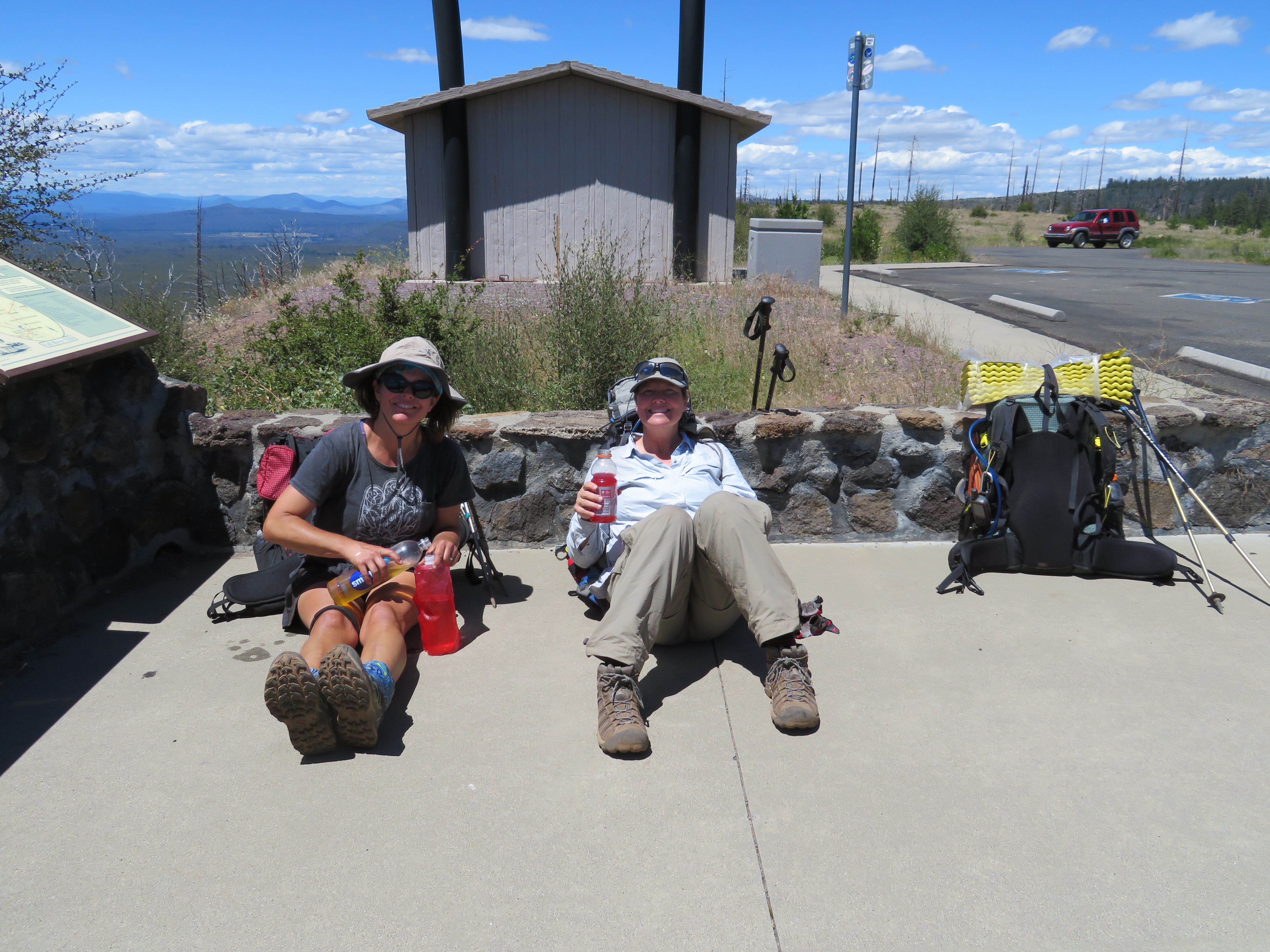
Hat Creek View Area
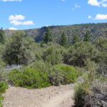
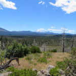
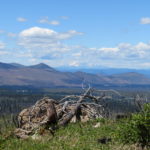
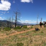
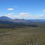
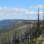
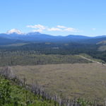
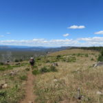
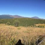
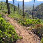
As we reach the rim, we can see our familiar friend, Mt Lassen behind us. We can also see a new friend in front of us. Mt Shasta, her top hidden by clouds, looms 125 miles in the distance. Mt Shasta is the next major mountain we will hike past. It is pretty cool to see both of these snow-covered mountains in our view. We make it to the Hat Creek View Area, where those pansy tourists in automobiles can drive to. Time for a short break before we start to hike the rim. The views are great as we walk along the fairly flat trail. We are feeling pretty good as the temperature is not heating up and the slight coolness in the air makes for pleasant hiking. After a while, we pass an area which seems to be infested with yellow lady bugs. It is interesting to see lady bugs that aren’t red. Based on water reports, we plan to stop at Lost Creek which is 8 miles in from Old Station. It is a spring which is .3 to .4 off the trail. Doesn’t sound too bad except it is more than 300 feet down below us on a steep rocky trail. We did get to carry less water from Old Station so I guess it will be worth it. We determine how much water we will need and then Carol stays on the rim with our packs while Shannon and I start the journey down the ravine. There are a few tricky steep spots but overall it is not too bad.
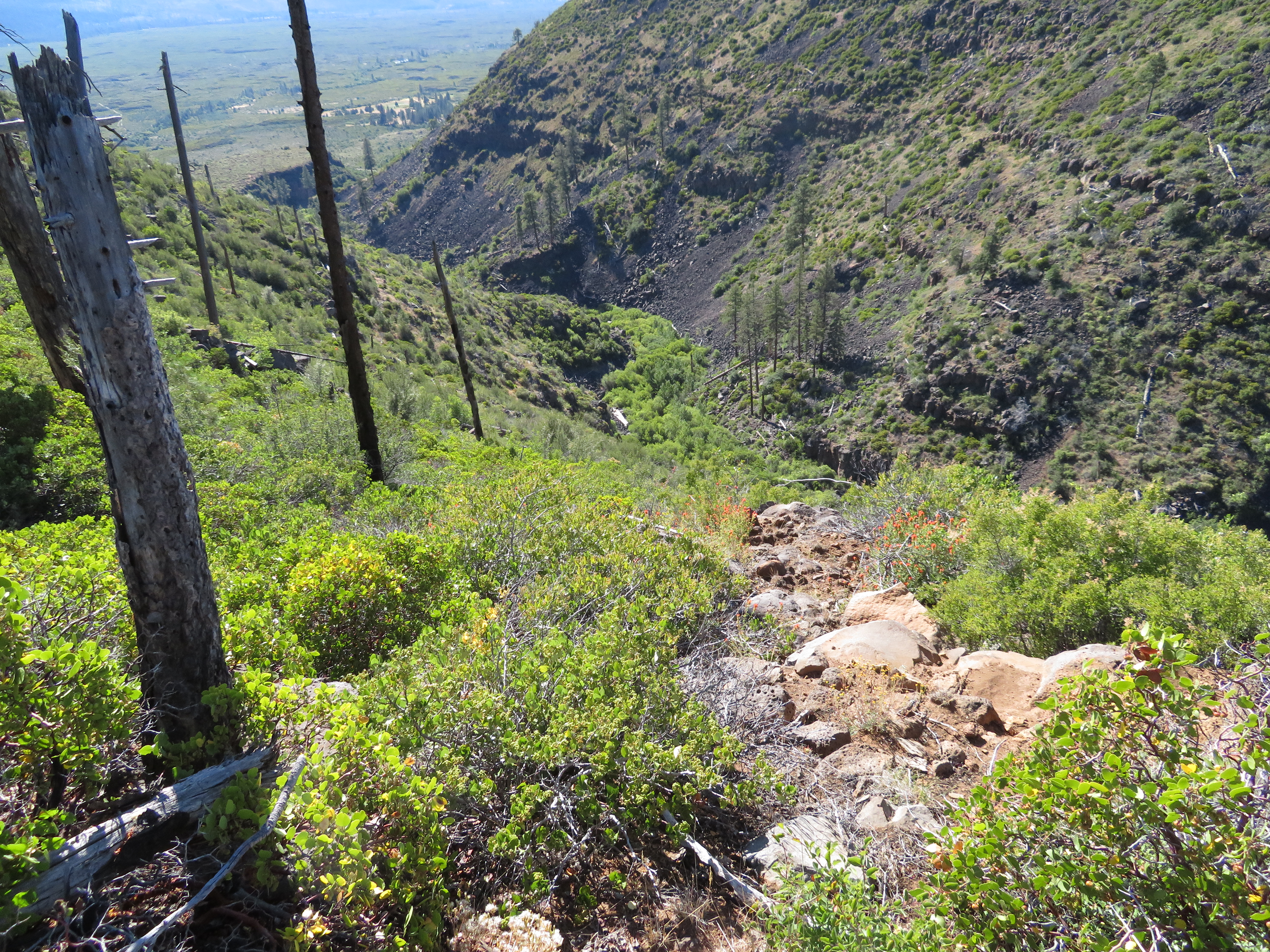
Descent For Water
When we reach the bottom, the water is flowing nicely and we fill up our respective containers. We each have close to 4 liters to carry up the steep slope. The water weight and the climb make us breathe more heavily as we crawl up the trail. We make it back up and decide that this is a nice spot to eat our dinner while we filter some of the water. The roast beef sandwiches are wonderful and I get the added bonus of a mayonnaise packet flavor enhancement while Carol chooses mustard. Some condiments just are flavor enhanced when you are outdoors and haven’t had them in a while.
With our stomachs, full and our 5+ liters each of water secure, we hike on to look for a place to camp. The rim is a volcanic area and there is quite a bit of lava type rock strewn about which can make camping a challenge. We descend down into a ravine and then climb back up the other side. We spook a deer feeding off the side of the trail. Just before mile 1384, we round a bend and come across a small forested area with flat ground. Looks like we have found home for the night. Our tents go up and we enjoy the remaining daylight before bed. It has been a good day. We hiked 14 miles at 2.7 MPH and are camped at an elevation of 4890 feet. Our high point today was 4905 feet.
-
- Morning Contemplation
-
- Spatter Cones Trail
-
- Maybe We Should Fly
-
- Looking Up at the Rim
-
- Mount Lassen Behind Us
-
- Can You Say Shasta?
-
- Mt Shasta In Front of Us
-
- Hat Creek Rim Panoramic
-
- The View
-
- Hat Creek Rim
-
- Road to Old Station
-
- Hiking the Rim
-
- Yellow Ladies
-
- See Where They’re Going
-
- Happy Charlie
-
- Water
-
- The Way to Water
-
- Water is Heavy
-
- Dirty Legs
No Comments Yet