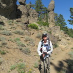
We woke up this morning to the sound of the Scottish Brothers breaking their camp. They each have their own tent and last evening when they set up, they got in their tents and talked to each other non stop for about 2 hours. I am not sure what you could talk about that long for after hiking almost 1300 miles together. Perhaps they should be the Scottish Lassies. We slowly packed up as they left, ate our breakfast, and were on the trail at 0715. We have been hearing the bellowing of some cows this morning, but have not seen any yet. We have seen the occasional sign that they have been here in a not so nice way. As we round a bend, we finally see them in a field off of the trail. We are climbing but it is a good grade and we surprisingly breeze through it.
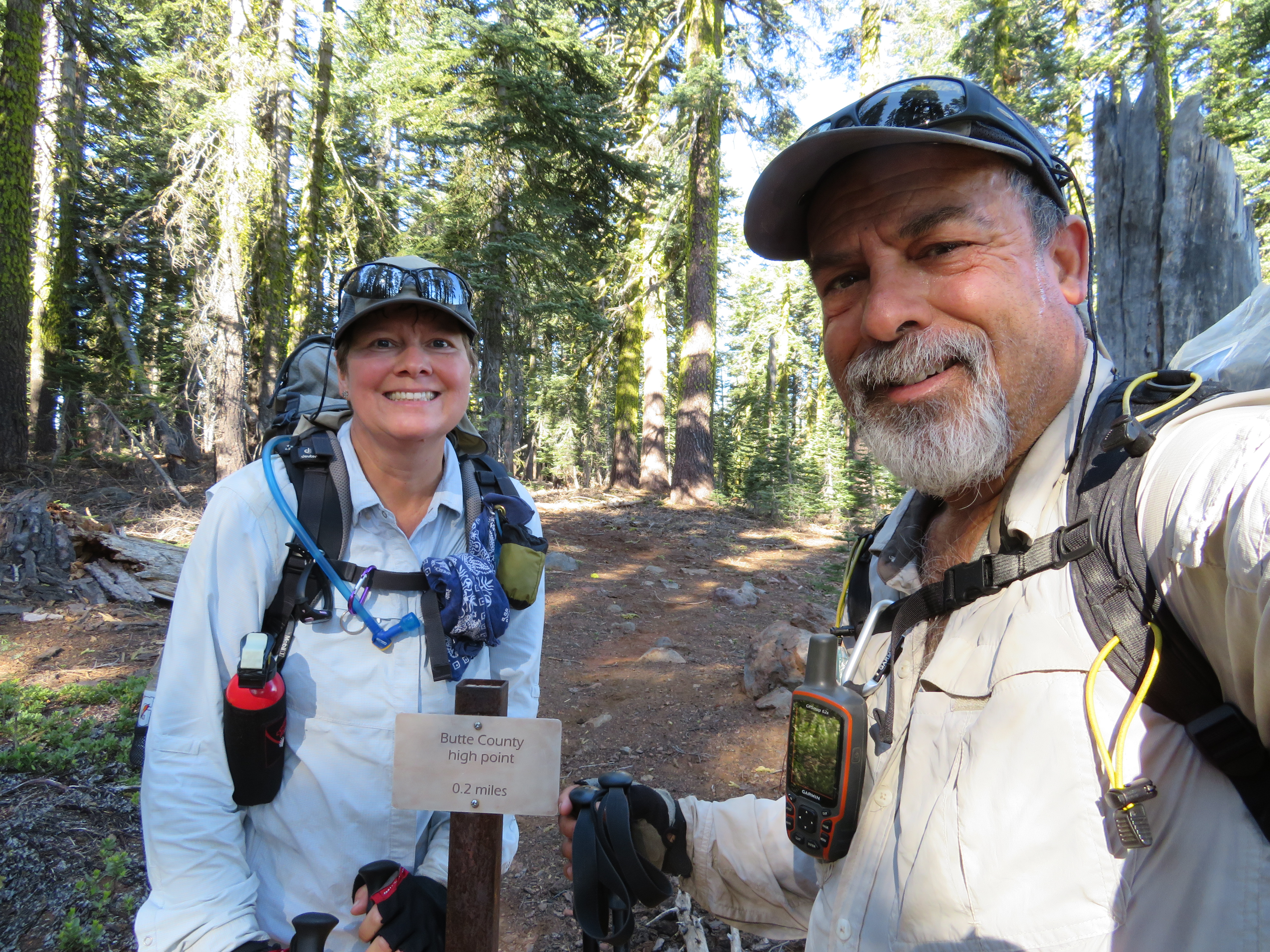
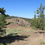
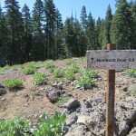
CNC Butte County Trail
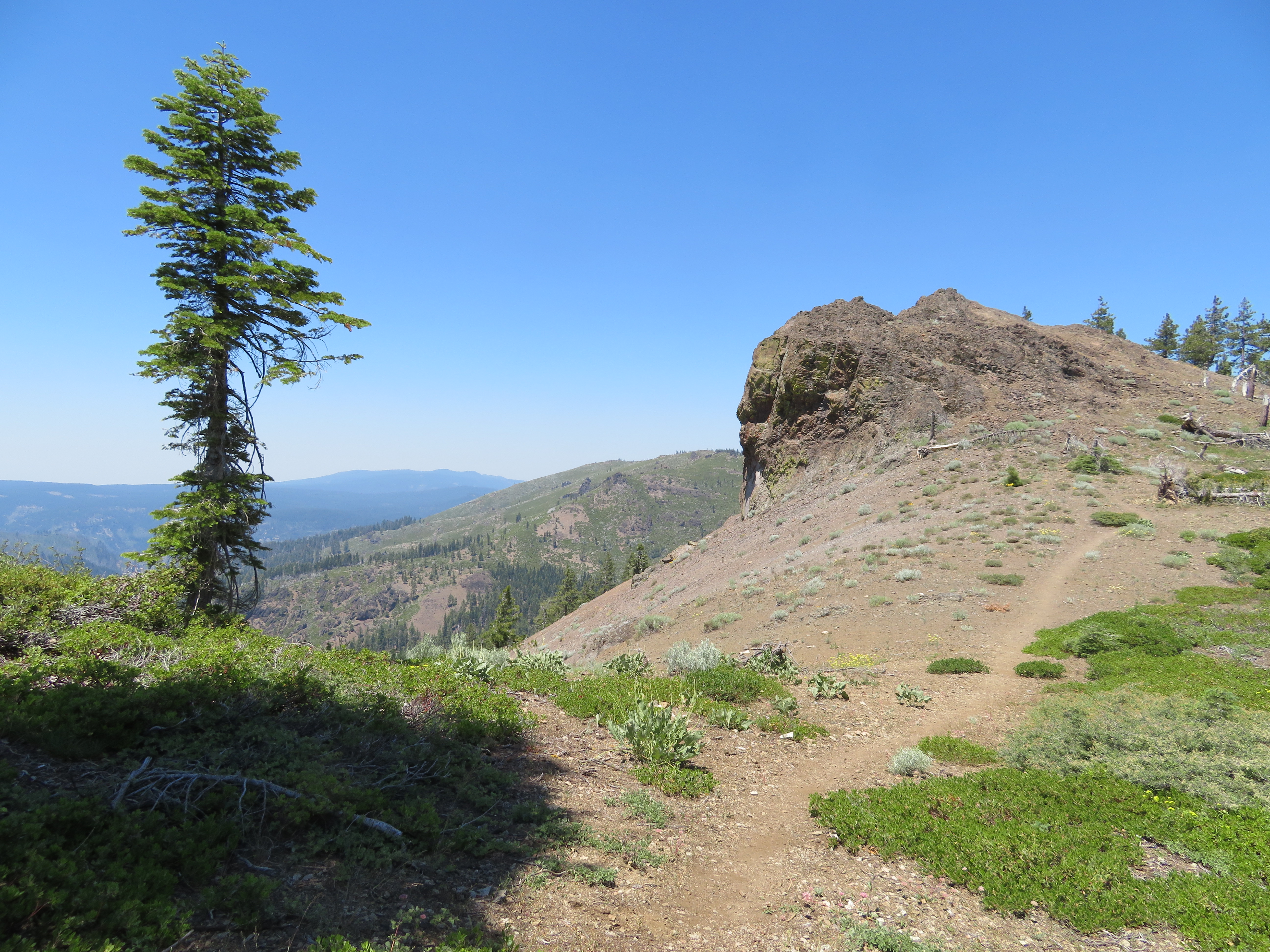
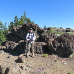
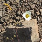
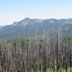
We are in the forest for most of this climb and take a break near the Butte County High Point trail. From there it is another 2 miles or so of forest and then we break out into an open red volcanic rock area. WE of course, have to climb up the volcanic slope but I am really enjoying the change in scenery and openness of it all. After reaching the top of this hill, we find a nice shady spot with a good sitting log and take another break.
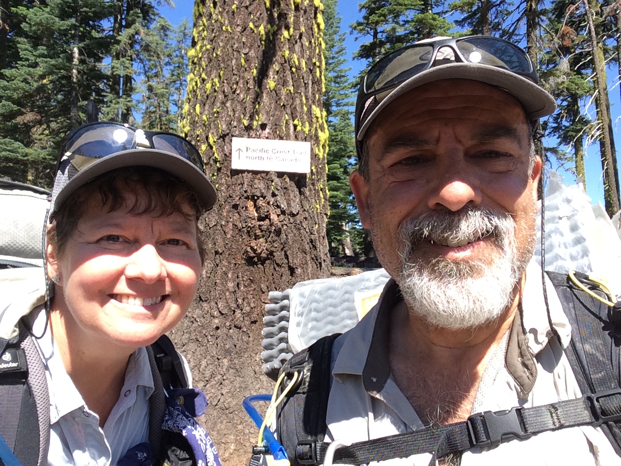
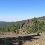
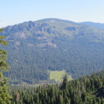
Our hike seems more relaxed today without the hugh climbs of days past and also the temperature has cooled down some. As we continue on in this terrain, we make another small climb and turn the corner to a Mount Lassen view nestled directly between two lava rock pillars.

Mount Lassen, Getting Closer
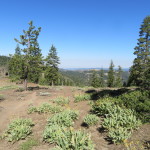
We can also see down to a meadow below us with a cabin at the end of us. The spot looks pretty idyllic from here. Before long, we leave the volcanic butte and are back in the forest. We meet a hiker going southbound who looks like he is not in the best of shape. He has a little dog with him and he stops to talk with us. We find out that his trail name is the Lonely Turtle and he maintains a cache in the desert section of the trail near Silverwood Lake that is named the turtle cache. Surprisingly, I remember this cache from our 2014 hike and the fact that it had fresh fruit, bananas and oranges in it. We thanked him for doing that. He has been hiking a section of the trail for the last 14 years. He moseys along at his turtle pace as we continue in the opposite direction.
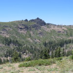
Near Humbug Summit
We hike near Humbug Peak and then cross a dirt road near Humbug Summit. A little more than a mile later, we come to a trail junction that leads to a spring which is .3 miles off trail. We do not need to go to this one as we have enough water for now. More importantly, there is a nice breeze here, no bugs, and some great rocks to lean against. We decide to eat our dinner here, which is an Alpenaire brand Bandito scramble. Apparently, we have been spoiled with our Mountain House freeze dried meals. For them, you just add hot water to the pouch, seal it, and let it sit for about 6-8 minutes and dinner is served. We were thinking this is the same but instead, you have to add water to the pouch, let it sit, and then actually cook the eggs. We do not have a fry pan and our cooking stove is not set up for this kind of cooking as it delivers a very hot focused flame. WE do our best trying not to burn the liquid egg concoction, yet cook it enough so it is edible. We put it in a tortilla and it is Ok but not something we would get again. I think we got it for free on one of our visits to REI. The lesson here is do not assume your freeze dried meals are instant and no cook. As we are eating, we hear voices coming around the bend, and Carol yells out, “Shannon”. It is indeed Shannon who we met in Bucks lake and her friend Kym. I am feeling awful slow until they say that they just had Kym’s son drop them off at Humbug Summit and did not come from Bucks Lake. We catch up a bit and then they push on since they had just started.
After lunch, we continue towards another spring where we had planned to get water. From that spring the next water is 12 miles further. We hike the next 2.6 miles to the trail junction to the spring. Neither spring is named so I will dub this one Navigator Spring. Shannon is at the junction with Kym and say that they plan on getting water at the next source on the map which is a half mile off trail but supposedly not as teep as this one. I tell her that I had read it may be hard to find and I do not walk any further than I have to for water. This spring is .3 down a side trail. She decides to get water here and her friend Kym watches our packs as the three of us remaining walk down to the spring. It is not a bad walk down, although it does lose quite a bit of elevation. We filter and fill up our water bottles and Carol and I also camel up a bit as well. We then carry the clean water up the hill to our packs which have our camelbaks in them. We can feel the steepness in the trail now, but I still do not think it was that difficult. We reach the top and start transferring the water to our packs.
Carol and I were originally going to camp right here but decide to press on a bit further. 2.2 miles further to be exact.
Starting the Additional Mileage
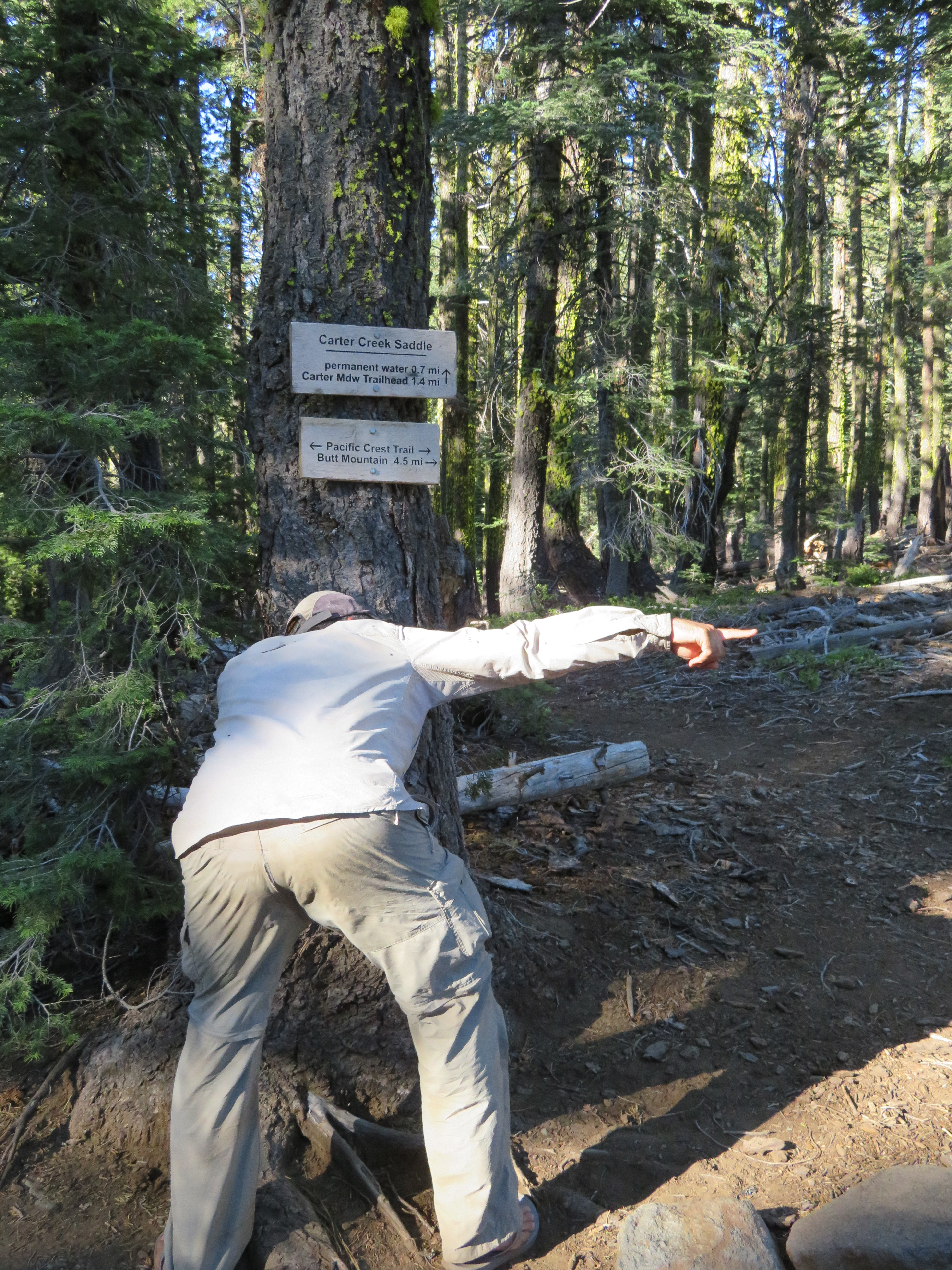
This will help us out tomorrow as it gets rid of 560 feet of climbing of a 1500 foot climb we have from this point. Shannon and Kym still plan on going down near the next water to camp. Carol is dragging a bit with the extra water weight, climb, and the added mileage. Even though Shannon and Kym left before us, we soon catch up and pass them by as Kym is struggling with the climb on her first day. This boosts Carol up a bit as she knows she has gotten stronger over the hike. At one point, Shannon hikes with us leaving Kym behind. We arrive at the trail junction to Carter Meadows where a sign says water is .7 not the advertised .5 off trail. There are several campsites here and we pick one for our home this evening. Shannon decides that they will camp here also as she thinks she got enough water from the spring and 1.4 miles round trip off trail does not excite her much.
I am Amused
We find a nice spot for her and Kym and wait around for Kym to catch up. She does and everybody gets their tents set up. It is nice to have company for dinner even if Carol and I are just having PBN since we cooked at lunch. We talk until dusk and then crawl into our tent for our nights rest. Tomorrow we only have 10.4 miles to go to our July 4th camp and then a short 3.3 miles to the highway to Chester where we have reservations the next day. All is good.
Our stats for the day are 13.6 miles including the .6 miles to the spring. Our hiking pace for the day was 2.4 MPH and our high point was 7165 feet. We got to the spring at 2:30, spent an hour there and then got to our camp at 4:45. We are camped at a nice elevation of 6650 feet.
-
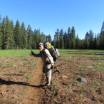
- Trail Pose
-
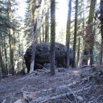
- Weird Rock
-
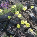
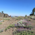
- More Flowers
-
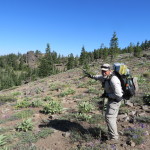
- Going Up There
-
- Lava Rock
-
- Survivor
-
- Lava Rock Wall
-
- From Our Break Spot
-
- Now Climb That
-
- Hill Top View
-
- Cabin In Meadow
-
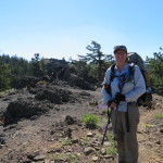
- Smilin’ Pit Stop
-

- CNC Humbug
-
- Humbug Peak That Way
-
- Where We Were This Morning
-
- Up There
-
- Lava Rock Tree
-
- Not Going There
-
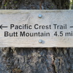
- The Butt of Mountain Jokes
-
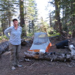
- Tonight’s Camp
-
- So Peaceful
-
- Skylight View
No Comments Yet