Sunday, March 25, 2018
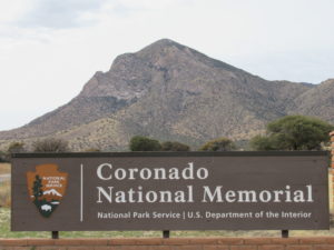 Today, we were going to head to Bisbee and explore the town and area. Then on Monday we were going to hike before heading to Phoenix. Last night, we looked at things and decided to reverse them. We are going to drive to Coronado National Memorial and do a hike today, end up in Bisbee, and have an easier day tomorrow. The weather report played a part in things as today is better than tomorrow but they both have high winds forecast.
We leave Tucson and after about 30 miles, depart the interstate and head south. We lose civilization pretty fast and the road starts to wind through hilly terrain. It is quite a beautiful area of hills and expansive views. We come to the town, using the term lightly, of Sonoita, and the road gets narrower as we continue on. When we reach Parker Reservoir, we turn on a dirt road into the Coronado National Forest. The road is bumpy and winding uphill.
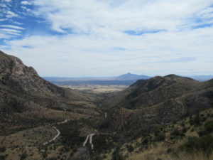
In a few miles we top out and have amazing views of the surrounding area. It is fairly flat now with an expansive valley to our west and mountains to our east. As we continue southeast, we get back into hilly terrain and then make a last long climb on a narrow shelf road which causes Carol to say “ Pay attention, there is no guardrail here” as she looks down the 1000-2000 foot drop-off at her side.
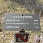
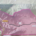
We reach the top at Montezuma Pass. We plan on hiking to here from the visitor center below. The planned hike was 6.2 Miles. The sky is cloudy and the breeze is picking up. I spot a ranger van, and see a ranger walking nearby. I had told Carol that there was a guided hike up here at 1000 but we would not make it. It is now close to 1100. The walk included a shuttle ride form the visitor canter to here. I decide to ask the ranger if she is leaving soon and would it be possible for us to leave our car here and get a ride to the Visitor center. I tell her we plan on hiking back to here. She is more than happy to give us a ride. We get our packs together and the ranger drives us down the winding dirt rad to the trail head for Joes Canyon Trail. We thank her and start up the trail.
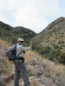
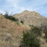
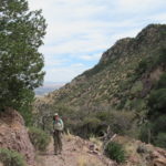
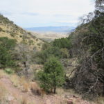
It immediately starts to climb and then switchbacks up the hill. There is over a 1000 foot of elevation gain in the first mile. We can see the saddle that we think we will go through. There is a slight breeze but it is inconsequential at the moment. It might pick up when we reach the saddle. As we climb, we get views down to the visitor center and the valley beyond it. We reach the saddle but our climbing is not done. It leads us into a bowl with a ridge another 500 feet or so above us. We decide to stop and have lunch in the shelter of a ravine. The wind has picked up but is still not too bad. We enjoy our lunch spot and then continue our climb. Carol is moving a bit slow and has not been feeling too good on the whole climb up. She toughs it out because she knows I will not carry her.
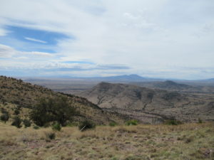
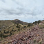
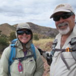
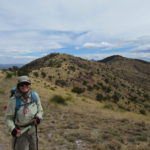
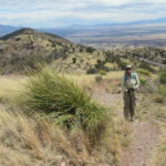
We start to top the ridge and now can look south into Mexico. We are less than 2 miles from the border. When we round a bend, the wind hits us in earnest. It has to be gusting 0ver 30 miles per hour. We are totally exposed on the ridge, so we just press on. Carol has her hat with straps and ear protection and I wish I had mine. I have to take my hat off or it might end up in Mexico. If it wasn’t for the wind, it would be really nice up here. The views are great. I stop to take a few pictures along the way.
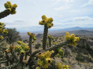
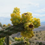
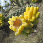
I also see some chollas, with yellow tips where they had flowered and fruited. I scramble a little down a slope to get a picture. Back on the trail, the wind is brutal until we reach a section of trail that is behind a small hill. It blocks the wind so we get a respite. We reach a junction with the Arizona Trail. To the left in one mile is the Mexican Border and the southern terminus of the Arizona Trail. The Northern end is only a few hours from where we live on the Utah Arizona Border. We go right along the trail until we reach Montezuma Pass and our car. We will have to return and try some of the Arizona Trail going North.
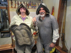
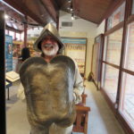
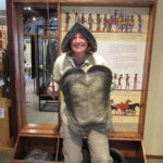
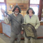
For now, our vehicle provides us shelter from the wind and a ride down to the Visitor Center. We check out the displays and learn about Coronados expedition through the area. We also get to try on a conquistador helmet and chain mail. It is extremely heavy and I can not imagine wearing it in the desert heat or maneuvering well with it on. We also get a pin for hiking over 3 miles. We actually hiked 3.25 miles with an elevation gain of over 1500 feet. We leave the Visitor center and make the drive to Bisbee, where we are staying tonight.
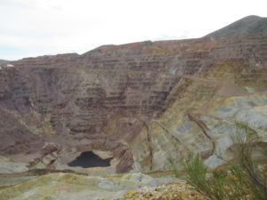
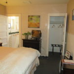
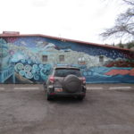
On the way into town, we stop to view the Lavender Pit, a very large open pit copper mine that is no longer in operation. It is an amazing site, or is it sight? We drive over to our small motel the Jonquil Inn. The young man who checks us in gives us the history of the building and the artist who painted a mural on its wall. We also are informed that our room had a leak so they are putting us in another room and giving us a 15% discount. That was a nice surprise. The room is very clean and will do fine for the night.
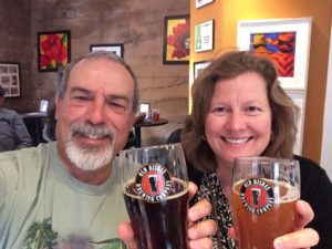
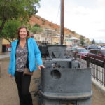
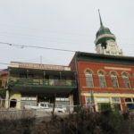
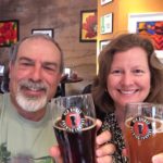
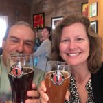
We freshen up and then walk into the main part of town. There are many art, antique, and other shops along the way. We eventually find ourselves walking into the Old Bisbee Brewing Company. I know this comes as a shock to many of you. We enjoy a beer while talking with some locals and a young couple from Tombstone. We decide to go elsewhere for dinner as they only serve brats and chips here. We go to Bisbees Table and both order a burger with fries. Carol gets the Texas Millionaire which has pepper jack cheese, green chile, bacon, jalapeno, BBQ sauce, and grilled onions. She gets sweet potato fries. I get the Austin burger which is ground brisket with the normal toppings and my fires are Siracha fries. Of course, we share and they are both very good. The siracha fries are incredible. After dinner we make the mile walk back to our room. It has been another great day.
- Coronado National Forest
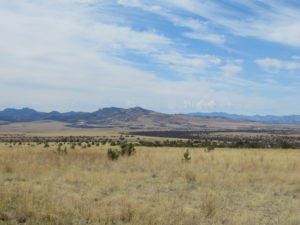
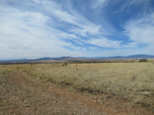
- Nice Country
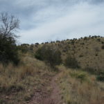
- On the Trail
- Carol Climbing
- Looking Back
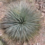
- Desert Spoon
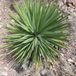
- Yucca Sky Cam
- Climbing to the Ridge
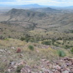
- The Border Lands
- Windy Ridge
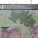
- CNC Coronado National Memorial
- Crazy Country
- Cholla Bud
- Close Up
- On the Arizona Trail
- CNC Arizona Trail
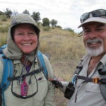
- Told Ya
- Yes We Are
- Conquistador Charlie
- Conquistador Carol
- Nice Helmet
- Our Room
- Motel Mural
- Bisbee Decor
- Walking Towards Beer
- Mining History
- Low Cost of Living
- Old Town
- Old Bisbee Brews
- Ahhhh!

No Comments Yet