July 25, 2004
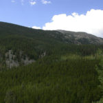
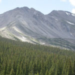
Today we are hiking the front end of segment 13. It is a fairly short day hike but has a tremendous elevation gain. After setting up the car shuttle, we begin a little after 10:00 A.M. We start at the North Cottonwood Trailhead at 9,400 feet.
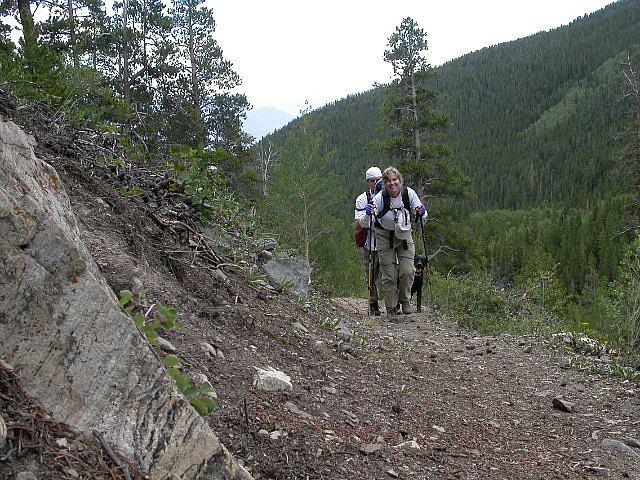
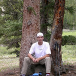
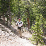
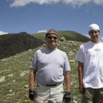
Hiking Up the Trail Carol and Steven
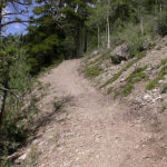
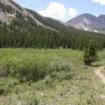
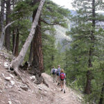
We cross Silver Creek and start ascending through a lodgepole forest. The trail turns and starts some serious uphill. This is where our problems start. This time it is not Carol, it is Jill. She is feeling lightheaded and has trouble breathing regularly with some heart palpitations. It is a known condition but one that requires a cooling off period. We were a little spread out when this started happening. Turbo Tim had motored on up the hill ahead of me and was out of sight. I was ahead of the rest of the group and stopped on an appropriate rock to wait for them. Just when I was getting a little worried Carol, Jill and Steven round the bend. Jill did not look good and was pretty pale. After some time, Tim who probably had went a good half-mile up, returned back down.As we were going to be above tree line, time was becoming an issue, because we didn’t want to get stuck up high with a storm. After waiting a half hour or so, we devised a plan. Carol, Steven, and I would hike on. Tim and Jill would give it more time and then decide whether to continue or not. If we didn’t see them sooner, we would wait at the end for an hour to see if they did hike. If they didn’t show up, we would meet in Buena Vista at 5-ish. We would slow our pace in hopes that they would catch up to us.
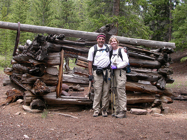
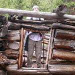
CNC Old Cabin Ruins
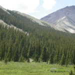
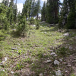
With a plan in place, Carol, Steven and I started back out. As we climb, we start to get views of the Collegiate Peaks. Somewhere up ahead, we would have to cross them. About 2 miles in from the trail head, and 1,600 feet higher, we stop near a meadow by the ruins of some old cabins to eat lunch. We think we can see the saddle between Middle Cottonwood Creek and Silver Creek where we have to climb to cross the ridge. It is still over 800 feet up, in just over a mile. But first, a lunch time story. We found a nice log near the cabin to sit on and eat. PBJ was the food of choice for me, Carol and Steven. When we finished, Carol went off to fertilize the woods. A short while later Steven and I hear her screaming, so we get up to run towards where we saw her last. I think I hear the word BEAR, so I stop to look for a stick (better be big) and also get my knife. Carol comes running into the open yelling incoherently in what she obviously thought was clear English. It turns out that the log she used to sit and think upon was home to some bees. When she got up to wipe, she disturbed the nest and got stung. Luckily, only one got her on the hand, and we had some bee sting stuff as Carol always carries a moving pharmacy. Once tended to and calmed down, and after a wee bit of laughing from the peanut gallery, we had to go find the scene of the crime, to get some items she had left behind. Following Carol’s directions as to where she was took us a while as they were something like; it is the log over there just over the hill. Items finally retrieved, we got ready to continue our hike.
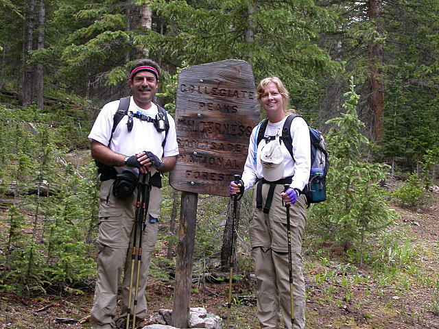
CNC Entering the Wilderness
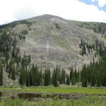
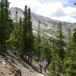
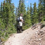
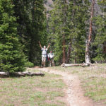
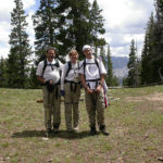
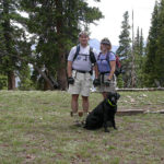
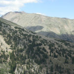
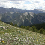
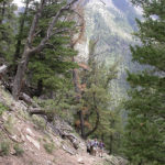
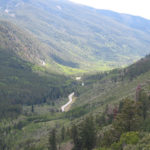
We still have seen no sign of Tim and Jill. We cross Silver Creek and start up an Eastern ridge of Mount Yale. Soon, we enter the Collegiate Peaks Wilderness Area in the San Isabel National Forest. As we continue our climb, we hear Tim and Jill and their faithful sidekick Chevy coming up behind us. Glad that we are all reunited; we continue the climb to the top of the saddle. At the saddle, you could work your way up to the top of Mount Yale, one of Colorado’s fourteeners. Tim, Steven, and I opt instead to climb up a ridge to the east of the saddle. The saddle sits at 11,800 feet and when we top out on the ridge we are at 12,020 feet. From the ridge top, we have a 360-degree view. We can see the valley where we ate lunch and east to where we had driven to the trail head. We can also see the whole collegiate range to the south and west and the mountains and ridges we had hiked yesterday.
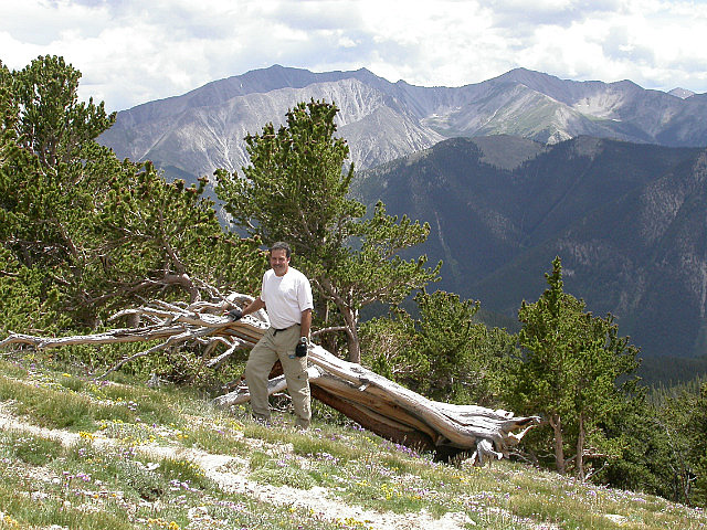
Charlie Mount Princeton in Back
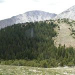
Mount Princeton is in view but I am not sure if Harvard is in our sights. Mount Yale, Princeton, and Harvard; can you guess why they call this the collegiate peaks area? I take a picture of a bristlecone pine that is lying sideways and looks dead except for the green branches at the very end of it. Bristlecone pines are known to be the oldest living things and some have been dated at over 4000 years old. After a break, we start again and it is all downhill from here. We soon reenter the forest and the trail varies between steep sections and slightly descending sections. The last mile or so is a steady mostly steep downhill to the trail head. We are glad we don’t have to walk up from this side. We finished the hike around 4:30 P.M. We hiked 6.8 miles and it took us 6 hours and 30 minutes. This was due to the delay with Jill’s condition and the time spent up at the saddle. I don’t think our pace was that bad, but I seem to have lost that data. Our High Point on the trail was 11,880 feet and the ridge was 12,020 feet.
Segment 13 Miles Hiked 22.4 C.T. Miles Hiked 213.8
-
- Silver Creek Drainage
-
- Trail Above Silver Creek
-
- Cabin Ruins Carol and Steven
-
- They Must Have Been Short
-
- Steven Lunch on a Stump
-
- Beaver Ponds in Silver Creek
-
- Silver Creek Meadow to Mount Yale
-
- Saddle Destination Below Mount Yale
-
- Mount Yale Close Up
-
- Steven Went Straight Up the Hill
-
- Still Climbing Up Carol and Steven
-
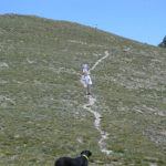
- Chevy Says This Way
-
- Charlie Uphill No Problem Mon
-
- Yes the Top!!!
-
- CNC and Steven Mount Princeton in Back
-
- Tim Jill and Chevy
-
- Silver Creek Meadows Where We Ate
-
- View Towards Mount Harvard
-
- View South Towards Chalk Cliffs
-
- The Guys Climbed Up Trail in Saddle
-
- Near Top of 12020 Foot Charlies Peak
-
- Charlies Peak
-
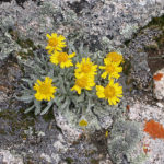
- Rock Garden
-
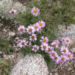
- Miniature Daisies
-
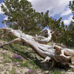
- Bristlecone Pine Very Much Alive
-
- Descending Hikers Tim Jill and Carol
-
- Steep Trail Down Avalanche Gulch
-
- Browns Creek Drainage
-
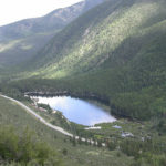
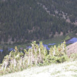
- Rainbow Lake Near Trails End
No Comments Yet