“After a day’s walk everything has twice its usual value.” ~George Macauley Trevelyan
Twin Lakes Dam, CO Segment 11b – Twin Lakes Dam to Clear Creek Road June 25, 2004 This week we are going to complete Segment 11. We are starting where we left off near Twin Lakes Dam and hiking the remainder to Clear Creek Road about 9 miles, or so we thought. The Trofholz Trio is still not able to hike due to Tim’s toe.
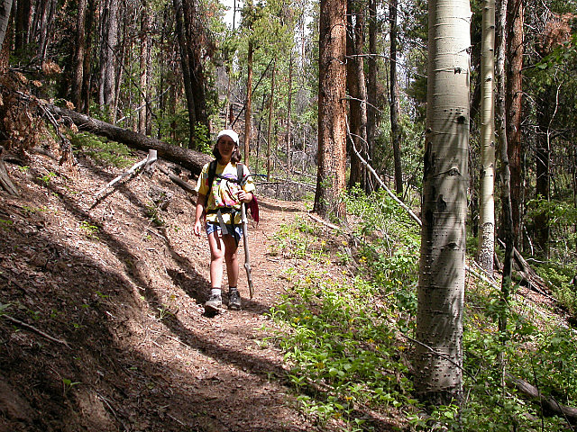
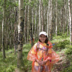
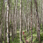
Laura Hiking in Woods
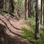
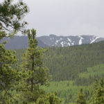
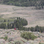
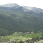
All the kids are hiking with us today. This will be a test for Steven Z and Laura to see how they fare with some longer mileage. I think Steven will do fine and am a little concerned about Laura as she has never walked this far. We drop the truck off on Clear Creek Road and drive around to the start point. We hit the trail at 9:05 A.M. and walk around the dam. The trail is a fairly level walk along the south shore of Twin Lakes. After about 2 miles, we turn and start a climb up a wooded hillside. It is fairly steep and we gain about 600 feet in a distance of about ¾ miles. A short time later, the trail turns south and we take a break overlooking a sage meadow. From here on out, we will be walking at an altitude of about 9,900 feet. We are in and out of forested ridges. Occasionally, we have some nice views to the east. The forest changes from small to large pines, thin to dense, and aspen groves, with each small change in elevation.
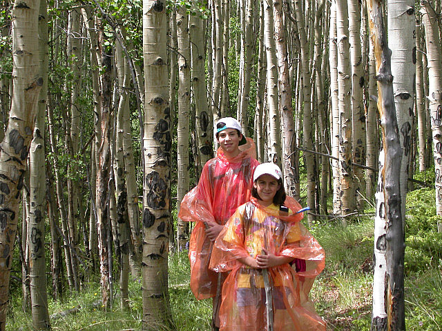
Steven Z and Laura Prepared For Rain
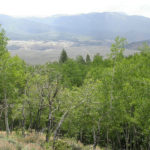
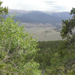
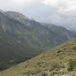
It starts to rain for a short while and then stops. Of course, we all put our rain gear on which seems to always have a way of turning off the spigot in the sky. We soon pass the ruins of an old cabin. Who lived there and what did they do will remain a mystery to us. We stop for lunch around noon on a ridge with beautiful views down a valley to the east, and mountain peaks to the southwest. So far all the kids are doing fine. After lunch, our journey continues through forest and meadow. We stop to talk with a man and his dog that are backpacking the Continental Divide Trail. The Colorado and Continental Divide trails are one and the same in this and several other segments. Soon we pass some old mines and quarries, as we start to climb the last ridge before our descent down to the trail head. Once over the ridge, we begin a descent on the exposed treeless south slope, down to the trail head. We are treated with views down the valley to the west-northwest of the Collegiate Peaks Wilderness and views to the east of Clear Creek Reservoir and the Arkansas River.
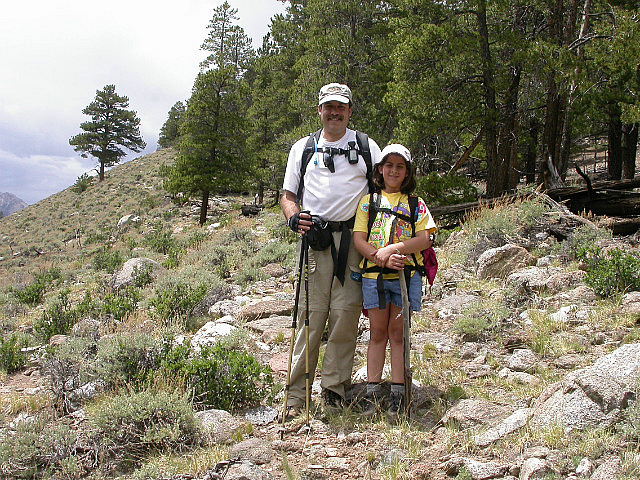
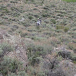
Charlie and Laura Its All Downhill From Here
We are lucky that the clouds are out, as there is no shade and it would be hot if it were sunny. The tradeoff is that we are racing some dark clouds, which are booming and flashing. Laura is a little tired so she and I take up the rear. She does a lot better when she is talking with someone, and we manage to get to the trail head without being rained on. All the kids did great, especially since this ended up being about a mile and a half longer than we had thought. We hiked a total of 10.4 miles in 5 hours and 30 minutes and have finished Segment 11. Segment 11 Miles Hiked – 22.0 C.T. Miles Hiked – 177.3
-
- View From Ridge South of Twin Lakes
-
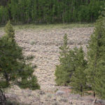
- Meadow Full of Sage
-
- Laura on the Trail
-
- View East From a Ridge
-
- Laura- So Cute
-
- Ghost Among the Aspen
-
- Laura at Ruins of an Old Cabin
-
- View Towards Mount Hope
-
- View East Towards Granite at Lunch
-
- Steven Z Starting a Descent
-
- View West Up Clear Creek Canyon
-
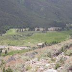
- Ranch Near Trailhead
-
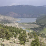
- Clear Creek Reservoir
-
- Collegiate Peaks They Are Next
-
- Carol Descending Through the Sage
-
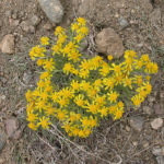
- Yellow Flowers
No Comments Yet