“Don’t let people drive you crazy when you know it’s in walking distance.” ~Author Unknown
Gold Hill, CO Segment 7 – Gold Hill to Copper Mountain September 14, 2003
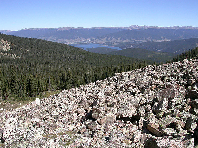
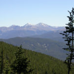
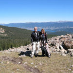
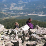
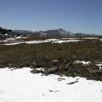
Lake Dillon and Beyond
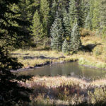
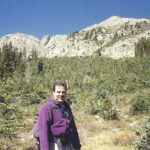
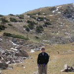
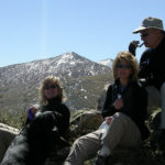
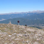
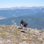
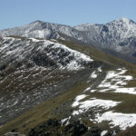
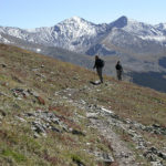
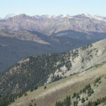
We originally planned to do this segment yesterday but the weather forecast was for rain with snow above 10,000 feet. So we waited a day and were very glad we did. We start at 7:45 AM and you could not have asked for a more beautiful day. Not a single cloud in the sky, cool temperature to start at 35 degrees, but a descent warm up as the day progressed. The hike was all uphill for the first 8 or 9 miles except for a mile or so of fairly level walking with a slight downhill. Once above tree line, you could see Lake Dillon and I-70 far below. We reached a saddle at 11,880 feet and walked a ridge above Breckenridge at 11,940 feet for a while. We hike just below Peaks 3, 4, and 5 of the Ten Mile range and have lunch overlooking Breckenridge and the Georgia Pass range. There is fresh snow on the higher mountains from yesterday.
CNC Breathe Breathe Breathe
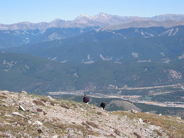
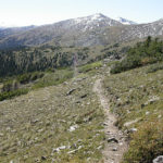
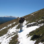
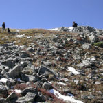
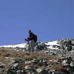
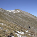
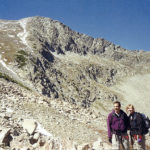
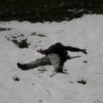
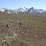
After lunch we head Southwest of Peak 6 and climb to our high point of 12,526 feet, the highest point this year. It was slow going, as oxygen seemed scarce at times. When we reach the high point, we are treated to views of mountain peaks covered in snow and Leadville in the distance. I have to lie in the fresh snowfield and play, even though the others were less interested in frolicking. As we descend along a ridge, we are above Copper Mountain and Highway 91. We looked down on the truck directly beneath us, so close yet another 4 miles or so by trail. At tree line, we began a long steady climb down of several miles, towards the truck, losing several thousand feet of altitude. The guidebook has this segment at 12.5 miles but the GPS said 13.9 and we trust it. This is the first time there has been that wide a discrepancy between the two. It has been accurate and based on moving time and total time on this segment, it seems right.
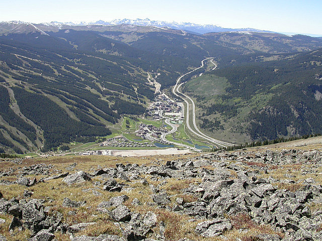
Copper Mountain and I-70
We arrive at the Copper Mountain trail head at 4:05 PM. We hiked 13.9 miles in 8 hours and 20 minutes. Our average moving speed was 2.5 miles per hour and our overall average with stops was 1.7 miles per hour. The total ascent was 3,486 feet. When we return to Gold Hill to retrieve our other vehicle, a sign says 13.8 miles to Copper Mountain, which confirms our GPS reading. This was an extremely beautiful hike and a great way to end our season for this year. We might have been able to squeeze another segment or two in, but the mundane job of home maintenance await us all, as our homes have been neglected this summer. We look forward to picking up our adventure next year. Segment 7 Miles Hiked – 13.9
C.T. Miles Hiked – 144.6
-
- Moonset
-
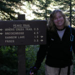
- Carol Near the Trail Head
-
- Mid September Freeze
-
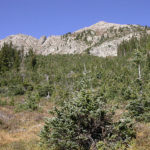
- Peak 3
-
- Charlie Looking Good
-
- Looking Towards Georgia Pass
-
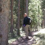
- Carol in a Lodgepole Pine Forest
-
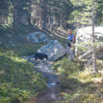
- Chevy Enjoying the Icy Stream
-
- CNC Serious Climbing
-
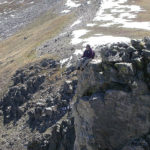
- Carol Near the Ridge Top
-
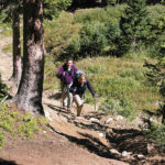
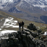
- Tim and Jill on the Ridge Top
-
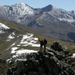
- Looking at Peaks 6 and 7
-
- Fresh Snow on the Trail
-
- Is That a Doobie Tim
-
- CNC Above 12000 Feet Enjoying the View
-
- Tim and Jill Waiting For Us
-
- Come On Up Into the Thin Air
-
- CNC On Top of the World
-
- CNC 12526 Feet High Point This Year
-
- Can Do Carol in the Ten Mile Range
-
- CNC On the Crest of Ten Mile Range
-
- CNC Backbone of the Rockies
-
- Charlie On the Edge Just For Mom
-
- Top of the World View
-
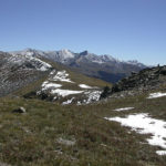
- Distant Mountains
-
- Backside of Peaks 7 and 8
-
- Charlie Got to Play in the Snow
-
- Carol and Jill About to Drop Off
-
- Majestic Mountains
-
- Feeling Small
-
- Its a Long Way Down
No Comments Yet