We get up and have a breakfast of a couple of apple turnovers that we bought at the store yesterday. Then we go downstairs to wait for our ride. Pipers Mom picks us up around 0745 and we head towards the trail. Along the way, we stop to pick up a hitch hiker, Robert, from Sweden. When he opened the back door, he asked if we knew where the trail head for the PCT was, and I immediately said, no idea, which threw him for a loop. I then added that we were going to the Appalachian trail head. It took a minute for him to get the humor. I think I was slightly sarcastic about something else also and then asked him where he was from. When he said Sweden, I said we were just there in Stockholm last summer. He goes, Are you kidding me, and I say no we toured Scandinavia for a month. He then says, I don’t know if I should believe you, you have lied about everything else. I thought it was kind of funny. He was a pretty serious guy.
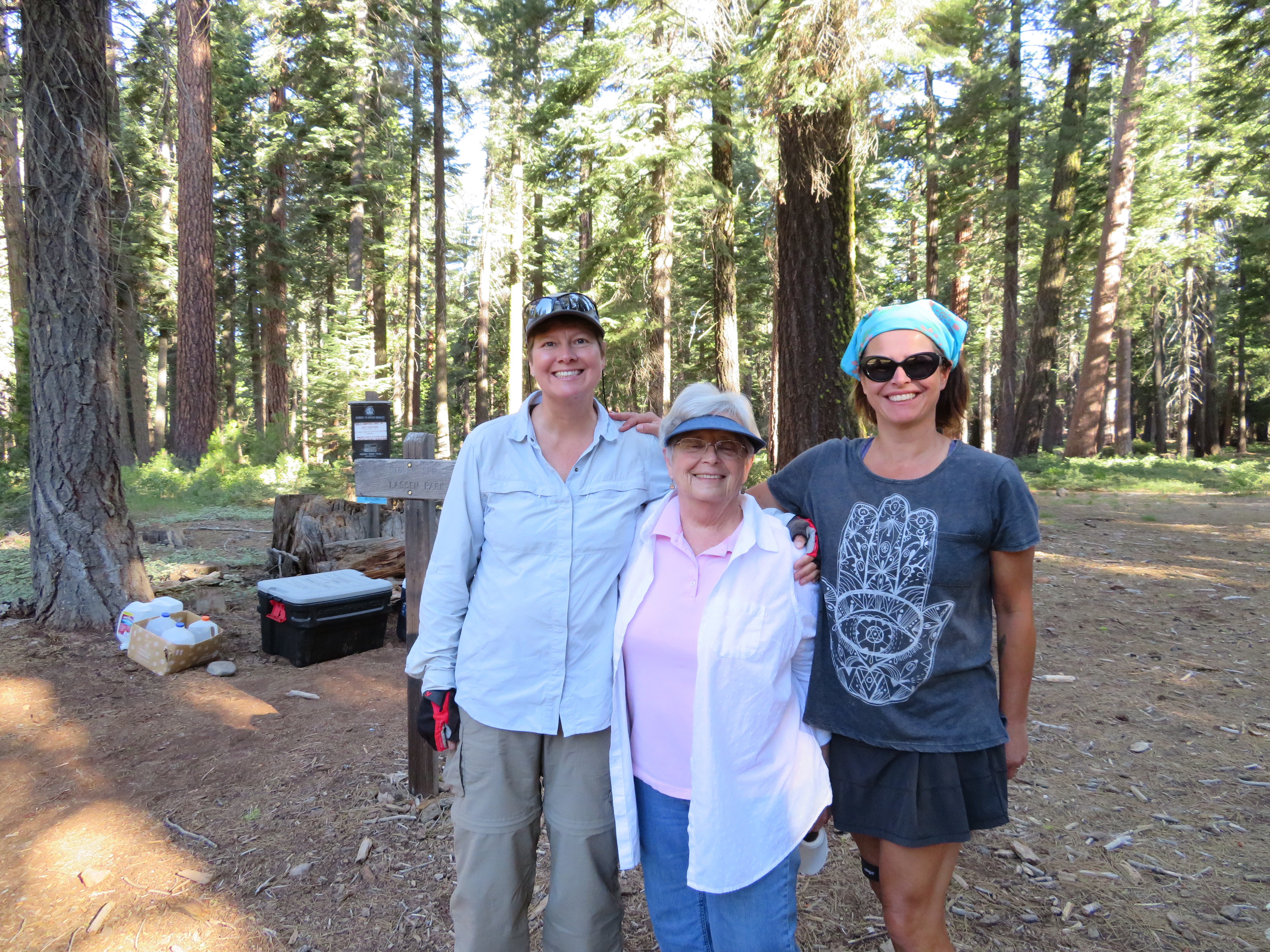
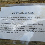
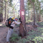
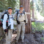
Pit Stop, Pipers Mom, and Shannon
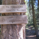
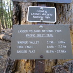
We got to the trail and Robert took off. We helped Pipers Mom unload some snacks and soda from her car. It turns out that she is the one who stocks the coolers, where we had found soda when we ended here three days ago. Very cool. We all hoist on our packs and are on our way at 0815. It starts out as a nice mellow trail before we end up starting a thousand foot climb over the next few miles. We hear timber operations going on and soon discover that we are hiking on private land owned by the Collins Pine Company. It is nice that they allow the trail easement through their property. We pass a guy and say a brief hello. It is pretty unusual for us to pass anybody and shamelessly, it makes me feel good.
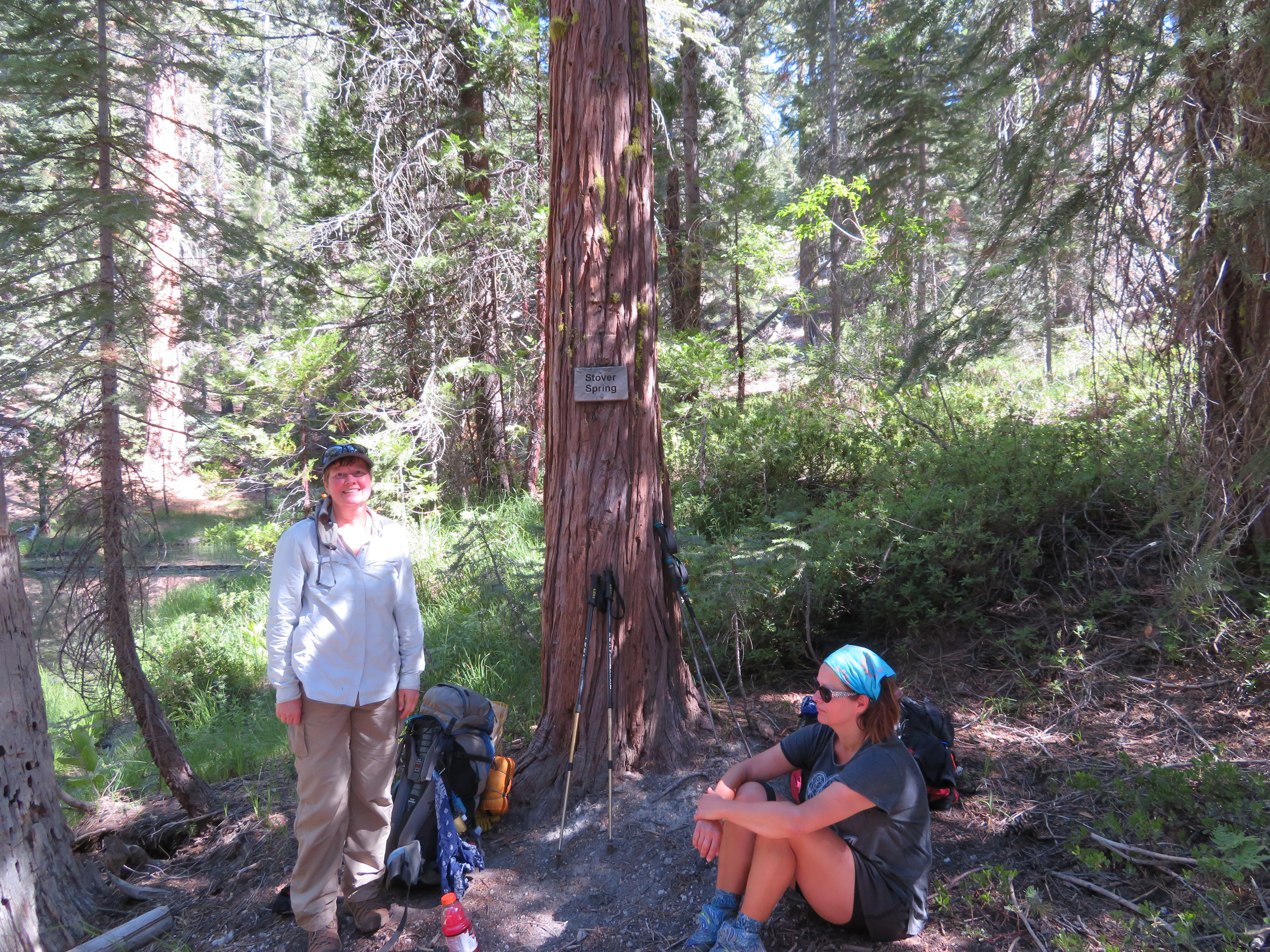
Stover Spring Break
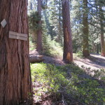
We finish most of the climb and stop for a break at Stover Spring, 3.3 miles from the trail head. The spring is flowing well, but we do not need any water so we just sit and have a snack. As we sit the hiker we passed shows up. He is not thru hiking but is going from Chester to Burney. He takes a break as we pack up and start hiking again. For the next 3 miles or so the trail has some minor uphill’s, but is more level than it has been in a while. We pass and chat with three slightly older guys who are hiking from Ashland to Donner Pass. We cross several jeep roads in this stretch and stop by one of them for another break. The temperature has been pretty pleasant and we are making good time.
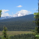
After our break, we reach a ridge that we will have to descend down to the North Fork of the Feather River. We are getting some nice views of Mount Lassen across the meadow below us. The descent down to the river loses us 800 feet of altitude.
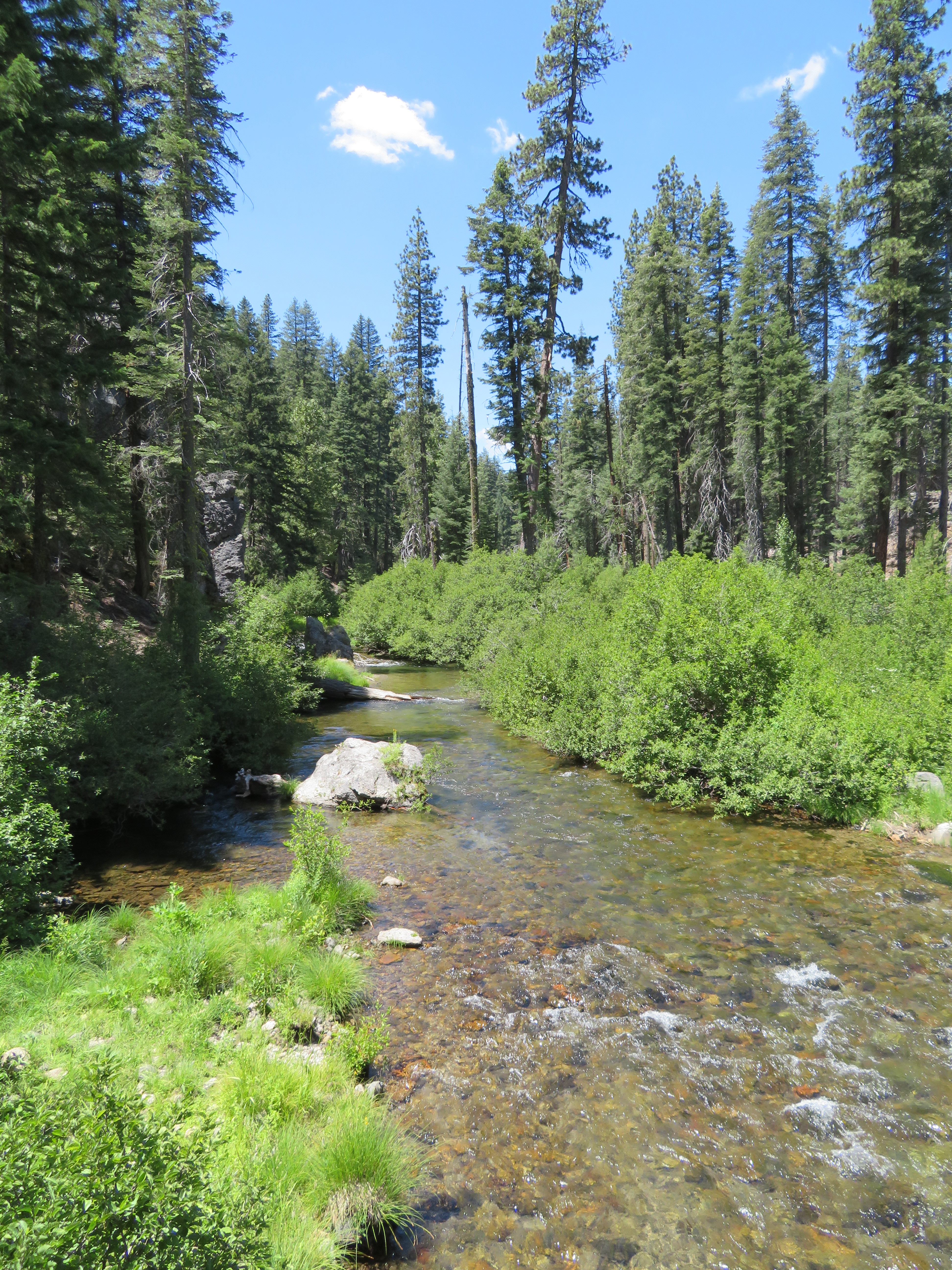
Trolls View of Feather River
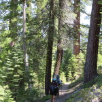
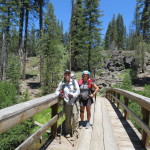
There is a bridge over the river and under the bridge is a nice place to get water. There is also shade and a few flat spots, so we decide to just eat lunch under the bridge. Our store deli sandwiches are delicious and a pleasant change from our peanut butter and Nutella. We have now become the Feather River Trolls. Shannon sits under a large plant with a flower on top of it and we think about naming her Flower Child. We will wait to see as we hike on, what names the trail will provide for her and then pick one later. Originally, I had about 12.5 miles planned for today, which only leaves about 2.5 to go. When possible, I try to plan shorter first days when we have to get a hitch from a trail town. Then, if things work out, we can always go a little further. We discuss things and decide that we will try and hike to Boundary Spring, the next water source, located at the Boundary of Lassen National Park.
Decision made, we press on. The trail is fairly level to begin with but then we have to start another 1000 foot climb. It is a fairly tough climb along an old jeep road. Most times, the old roads are steeper grades than where the trail has been cut as a foot path. This is because the builders of roads are not concerned as much about the grade for mechanized machines. That makes the old roads harder to hike. We plateau out and take a break near where I had originally planned to camp. From here it is pretty easy trail and when we get close to the Boundary Spring Trail junction, we come across a small creek. As the spring is about a tenth of a mile off trail, we decide to fill up our water here and then look for a camp up ahead. When we get to the trail junction, there are quite a bit of mosquitos around which doesn’t thrill me at all. Not wanting to camp here, I convince the girls to go on and look for another spot. Shannon needs more water, so her and Carol go to filter some, while I am going to hike on and look for a place a little further up the trail. They will join me shortly.
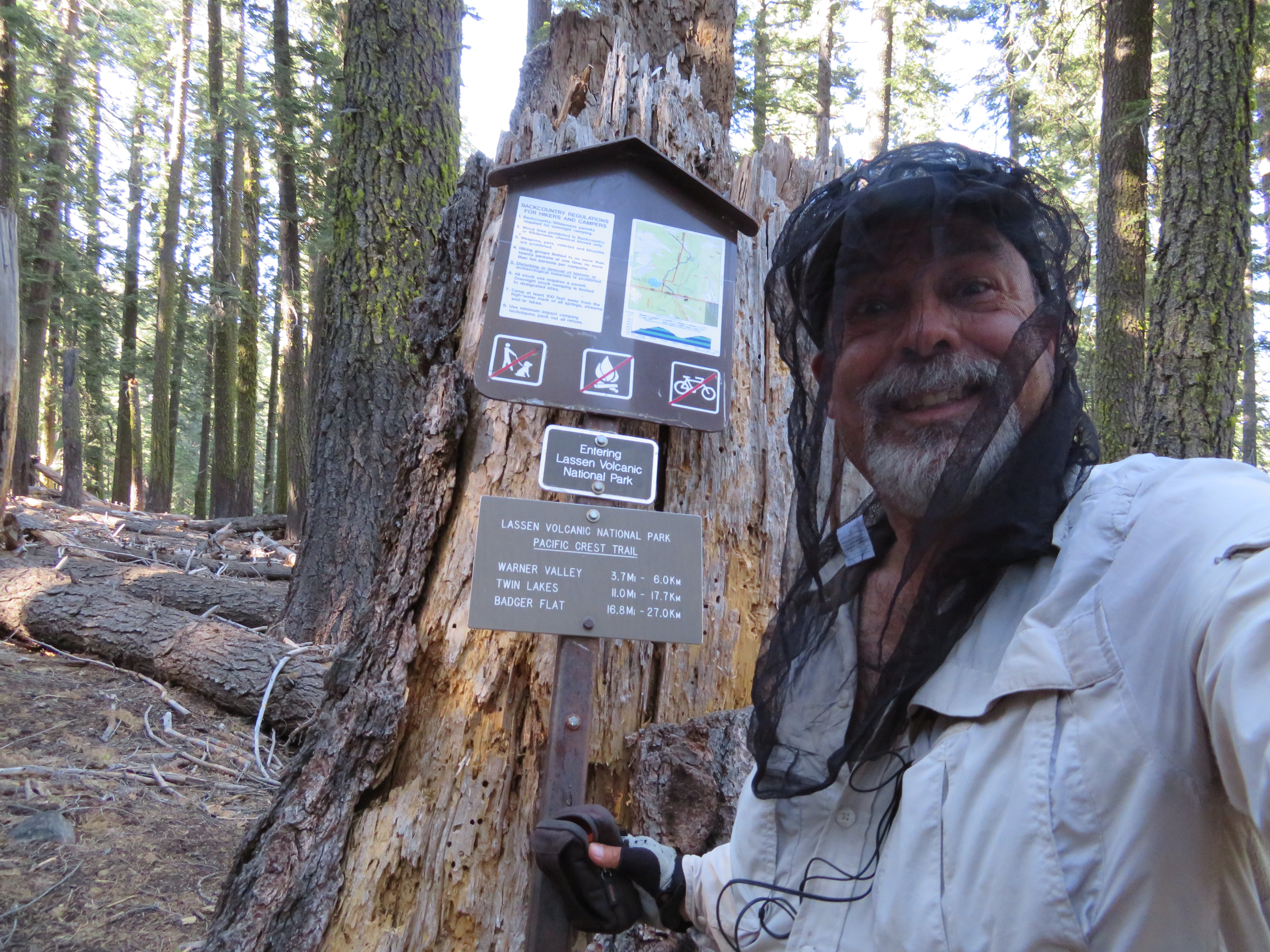
Stop Bugging Me
As I leave, I enter Lassen National Park. This fact is up lifting but only until the trail makes a turn onto a steep up hill section. I know the girls are not going to be happy with me, but then I am not too happy right now either. As I top this first climb, there are two possible camps, but the mosquitos and bugs are as bad as they were below. There is a marshy area nearby, so I continue up the trail and it keeps climbing. I am scanning left and right for a nice camping spot, but the slope is not cooperating. About a long half mile from the spring, I see a flat spot and sit to test out the bug factor. It seems pretty good as I am on a small knoll above the marshy area and there is a slight breeze. I decide that I will wait for the girls to catch up. It seems like a long time sitting in the dark woods alone, but they do eventually show up. The decision to make this our cam is solidified and we get down to the business of setting up camp and cooking dinner. Mac and cheese is on the menu tonight. As it is getting past dusk, we crawl in our tents, to not allow the inevitable mosquitos, their dinner. The hiker we had passed earlier today walks on by. He had said he was going to Drakesbad Guest Ranch in the park and that is an ambitious day at his pace. Our stats for the day are 16.1 miles hiked (our longest day yet) at a nice pace of 2.6MPH. Our high point today was 6159 feet and we are camped at 6150 feet, inside the National Park. Tomorrow, we go to Drakesbad where we hopefully can have breakfast or lunch.
-
- Sign at Trail for Pipers Mom
-
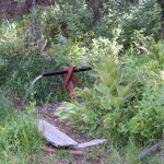
- Timberrrr
-
- Close to Lassen Park
-
- Pointing the Way
-
- Stover Spring
-
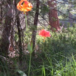
- Wild Lily?
-
- CNC Heading North
-
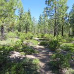
- Good Trail
-
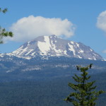
- Mount Lassen
-
- Pit Stop and Shannon
-
- Great Day and Views
-
- Feather River Bridge
-
- We Made It
-
- Hat Creek Rim Warning
Love and miss you guys!!!!
We miss you too! We talk about ya all the time! We had the best 2 weeks on the trail was with you! Thanks for the great memories!