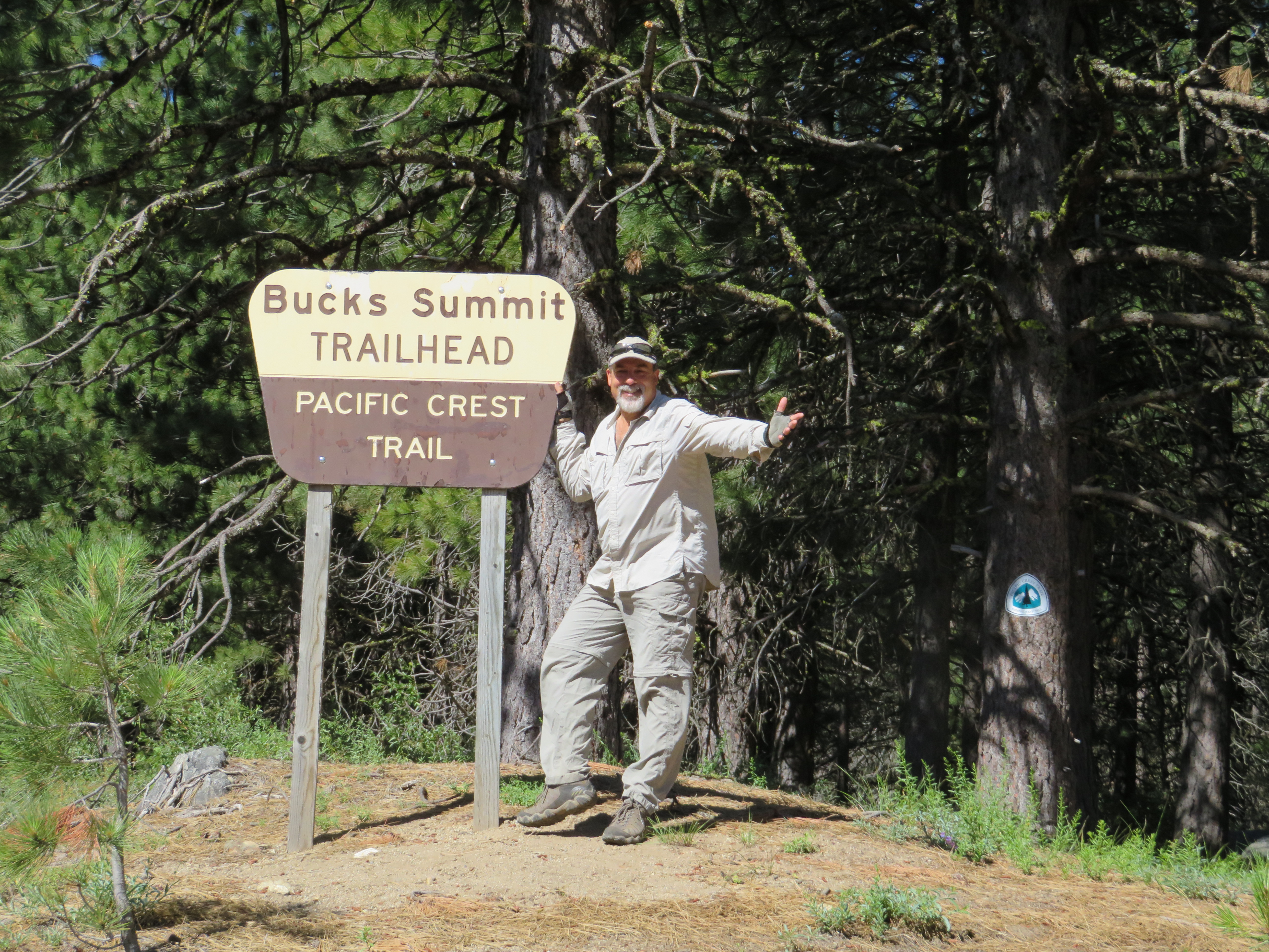
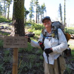
Breakfast was served at 0800 and we went down around 0730 for coffee. I met Shannon and we discussed my itinerary, camping spots, and maps. Sonia was also there as well as some friends of the owners from Arizona. The breakfast was very good and included a nice fruit cup, veggie omelet, orange juice, coffee, and several kinds of pastries. when we were done, we retreated to our room to shower and clean up before we went to get dirty again. I went back down and showed Shannon how I look for camping spots on the map and our planned mileages in the next section. She had hiked from Sonora Pass to Sierra City last year and started at Sierra City this year. The two friends that started with her this year bailed out on her after two days and she is now waiting for another friend to join her here. I go back upstairs and we grab our packs and bring them down to the front porch. Carol goes to find the owners husband, Ken, who gets his car and pulls it around front. He is very nice and the short ride back to the trail goes fast. Dropped off, we are once again left with our own foot power.
Happy Hiker
We start hiking at the late, late hour of 0955. Our new plan is to do 9.8 miles today and camp at Clear Creek. We were originally going to lounge around Bucks Lake and hike 2.3 miles so this day will put us ahead again. This is all good as there has been a heat wave and it is supposed to be in the 90’s at Bucks Lake today. Hopefully, we will have some shade and gain a little altitude to help with the temperature.
Of course, we are starting out today with a 1500 foot climb over the next several miles.
Old Jeep Road
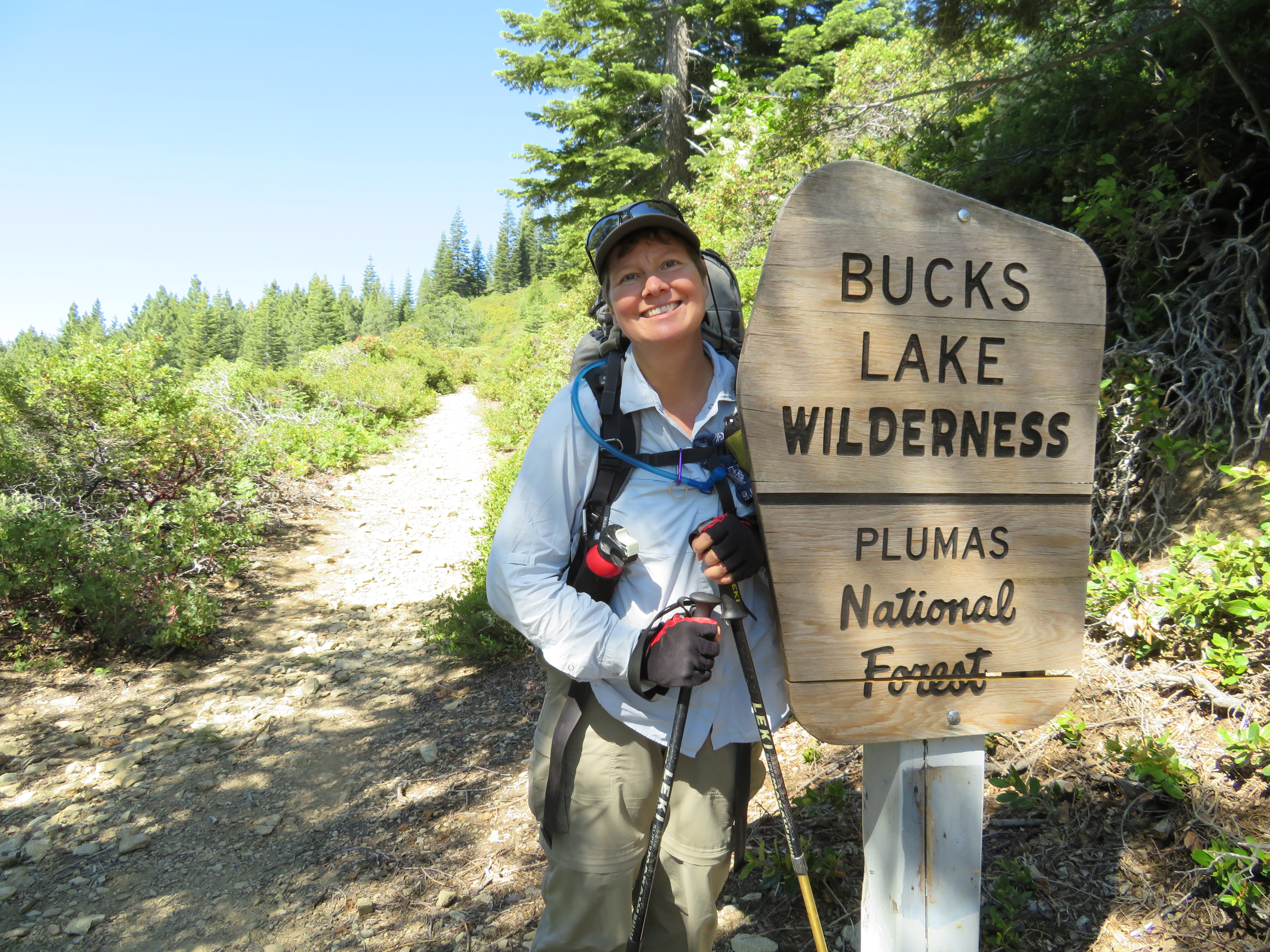
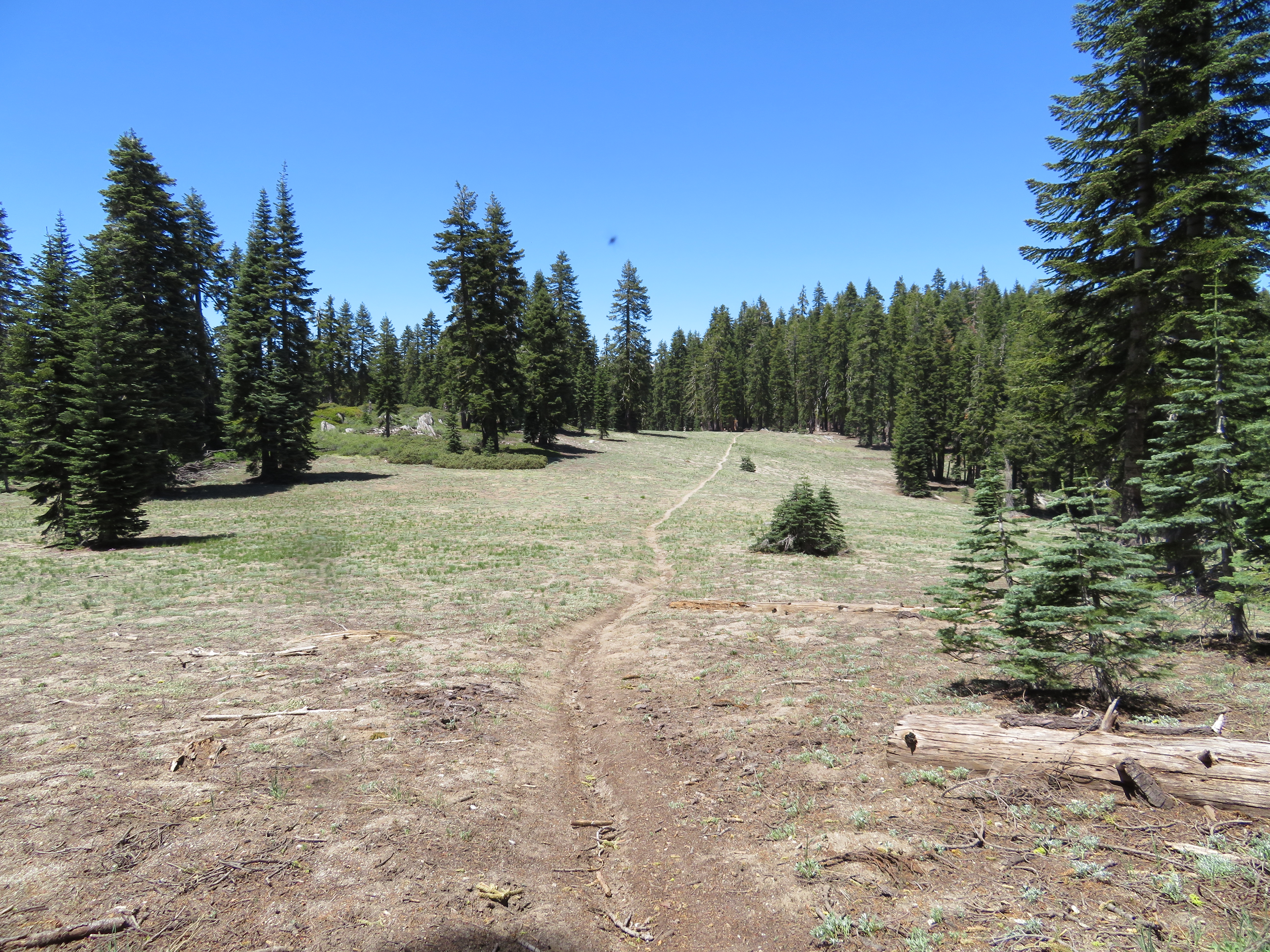
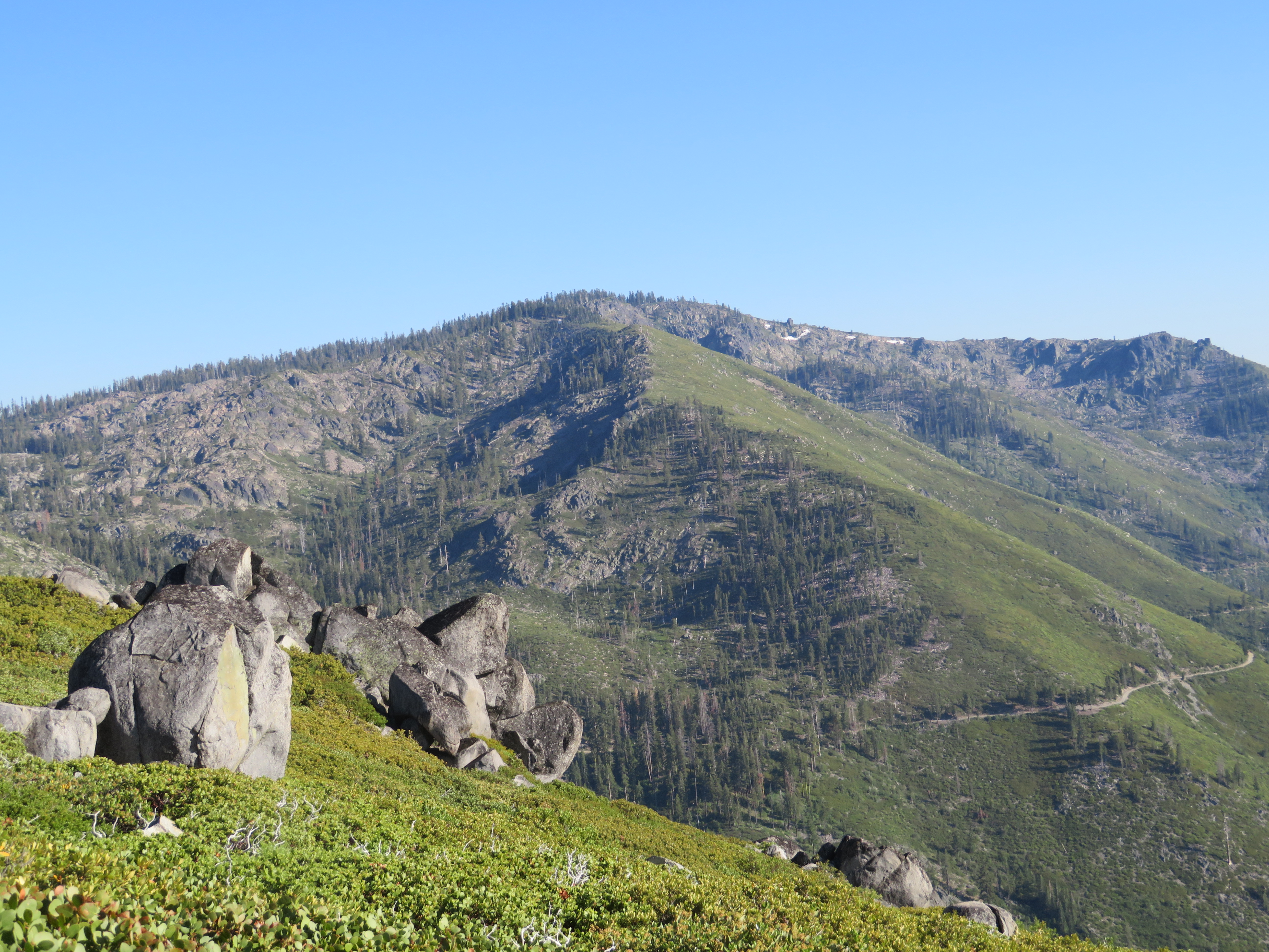
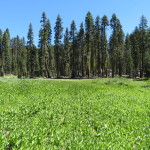
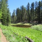
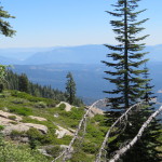
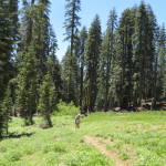
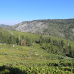
We start out and after a while, we enter the Bucks Lake Wilderness. We are hiking on an old jeep road which is slowly becoming more of a trail than road. Wilderness areas are located within our national forests. They are more protected than the forest itself as they do not allow any mechanized items in the wilderness areas. No vehicles, not even bicycles, are allowed and so the old roads slowly are taken over by nature. As we get higher, we start to get a few views of the forest from above. We also are switching from shade to sun as the trail winds along up into the hills. We pass the spot where we had planned to camp originally and it looks pretty nice. We feel we should at least take a short break here as there is shade, so we have a snack and give our backs a break. From here the trail flattens a bit and we go through a nice meadow area that has a small pond. Our pace is better through the unexpected flatness. We start climbing again but it is much more gradual than what we have already done. We get some views and can see the haze from the heat forming in the valleys below.
Mount Lassen View
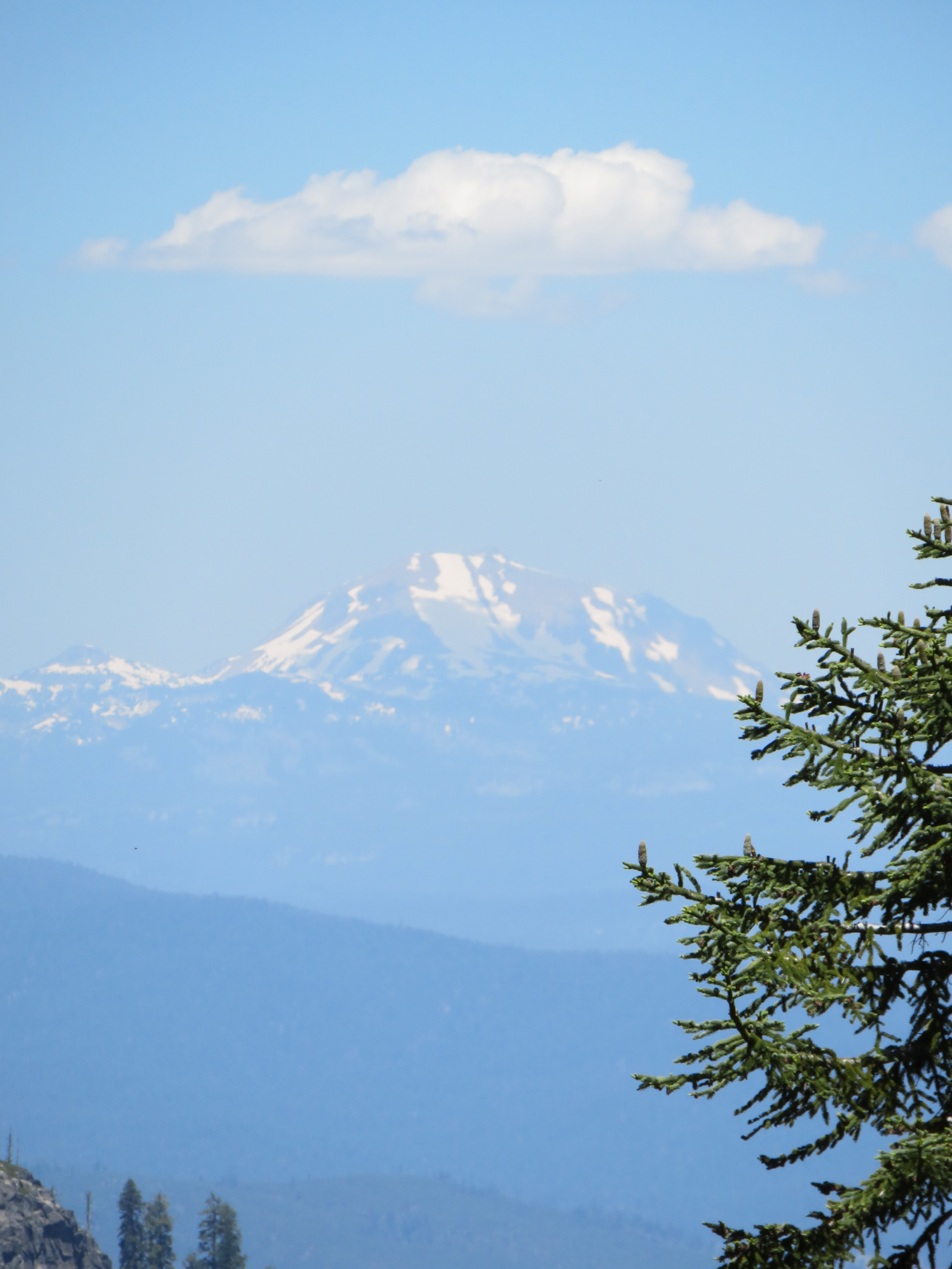
As we start to walk along a nice ridge, we get our first view of Mount Lassen. It is at least 100 miles away and located in Lassen National Park. Carol and I climbed it years ago and we will be hiking into the park later in our hike. The mountain is the southernmost active volcano in the Cascade range and the second highest peak in Northern California, behind Mt Shasta. Its elevation is 10,457 feet and it still has quite a bit of snow on it. We find a shady area nearby and have lunch. Today, we do not have PBN but rather a summer sausage. Since Carol forgot to pack a knife for this trip, she cuts it with the nail file on our toenail clippers. Boy, I hope she washed that when we were in town. I am not sure if toe fungus is a protein or a vegetable but do not want to find out.
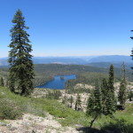
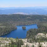
As we continue along the ridge, we get a great view of Silver Lake, about a thousand feet below us. There is a trail junction that leads to it but we do not need water that bad. We turn another corner in the trail and come to an area where it is obvious they have let cattle graze. The meadow has been pretty decimated and there is little grass to be seen. This should be managed a bit better as far as I am concerned.
Cattle Damage
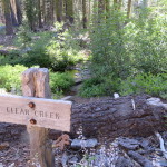
We pass through this area and than back into the forest. We arrive at Clear Creek, where we had planned to camp. The creek is not quite as clear as the name implies but not bad either. We decide to cook dinner and think about whether we will camp here or continue on. The menu tonight is mac n cheese. It is very tasty. As we finish up and filter some water for the rest of our day, our shade starts to be invaded by the evil Mr. Sun. This increases the bee activity around us. I am being pestered by what I call the kamikaze bees. We have encountered these often during our first few weeks and they just hover8 inches to a foot from you. They have not landed on us or bothered us beyond that but hey are annoying. As I am putting away the water filter, one of them breaks tradition and stings me right through my shirt on my side. It hurts like heck and he definitely got his stinger in me. Dr. Carol puts some sting eze on me which helps with the burning sensation. We do not want to mess with the stinger now so since it does not seem to be swelling up too bad, we finish packing. We have decided to go further and see how far we get. Tomorrow we have a large descent to Belden, followed by an exposed climb and it is supposed to be hot. Our new, new plan is to get as close to the edge of the descent as we can so we can hit Belden and start our climb tomorrow as early as possible.
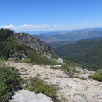
There is a spring about 4 miles ahead and there may be a spot to camp near it, but it is in a fairly steep area so we are taking a chance. On the map, it looks like a mile or so beyond the spring is some possible flatter areas. We won’t know for sure until we get there. The good news is that the trail looks mostly flat or downhill from here on up. Hiking on, it is not too long before we do break out of the forest and back onto a sun exposed ridge. The terrain on the up side of the trail is fairly steep and looks like good mountain lion territory to me. It is getting to the dusk part of day when they become active, so I keep my eyes open, scanning the terrain around us for movement. The sun is glaring at us from the west and if it wasn’t for the slight breeze, I probably would not be to happy in the heat.
View From Trail
We come to an area that was marked on our map as having campsites, and run into Joy sitting in a small amount of shade on the trail. Her tent is set up nearby and she tells us we are a sight for sore eyes. She left early this morning and says that she has been here for 3-4 hours just baking in the hot sun. She tries to get us to camp near her but we have already decided to hike at least as far as the next spring another mile and change ahead. She also tries to convince us to camp outside Belden tomorrow with her and hike up the climb the next day. Every time we see Joy, it seems like she is trying to get someone to hike with her but only on her terms. We politely tell her we do not think we will be doing that and that we have to move on as the day is getting late. So many people on this trail, use the campsites that are clearly marked on the maps we all use, and are afraid to use their maps to determine other places to camp. Part of me thinks that the guy who put together these maps causes some sites to be over used due to this. It also creates a crowded situation at most of them, especially if they are near water. Some of the best sites we have had so far were not on his maps and were ones, I just picked, based off the topography on the map and said this area might be good. Every time we have done that we also had the site to ourselves. We will see how I fare with this tonight as I have some concerns.
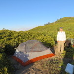
We continue on a ridge, and around a mile later, spot a beautiful exposed site, but decide to continue to the water. We start a winding descent and when we get to the seasonal spring, are glad to see it is running fine. The terrain around it does not look good for camping, so while Carol filters us some water for tomorrow, I go and scout ahead to see if I can find a level spot. What I find in the next third of a mile or so is not very good. There is one spot that is mostly on the trail itself and a bit rocky. I did see where the trail leads below us and the flatter area which I saw on the map. It looks like it is very brushy, but we really do not have a choice but to go on and hope we can find a spot. We hike on another .5 miles and the trail flattens out. We have about another .75 miles to find a spot before it gets real steep again. Carol sees a small trail leading into some bushes so we go to check it out. It is most likely a trail to a view or a game trail. A little ways in off the trail, she sees a small clearing surrounded by bushes with enough room for our tent.
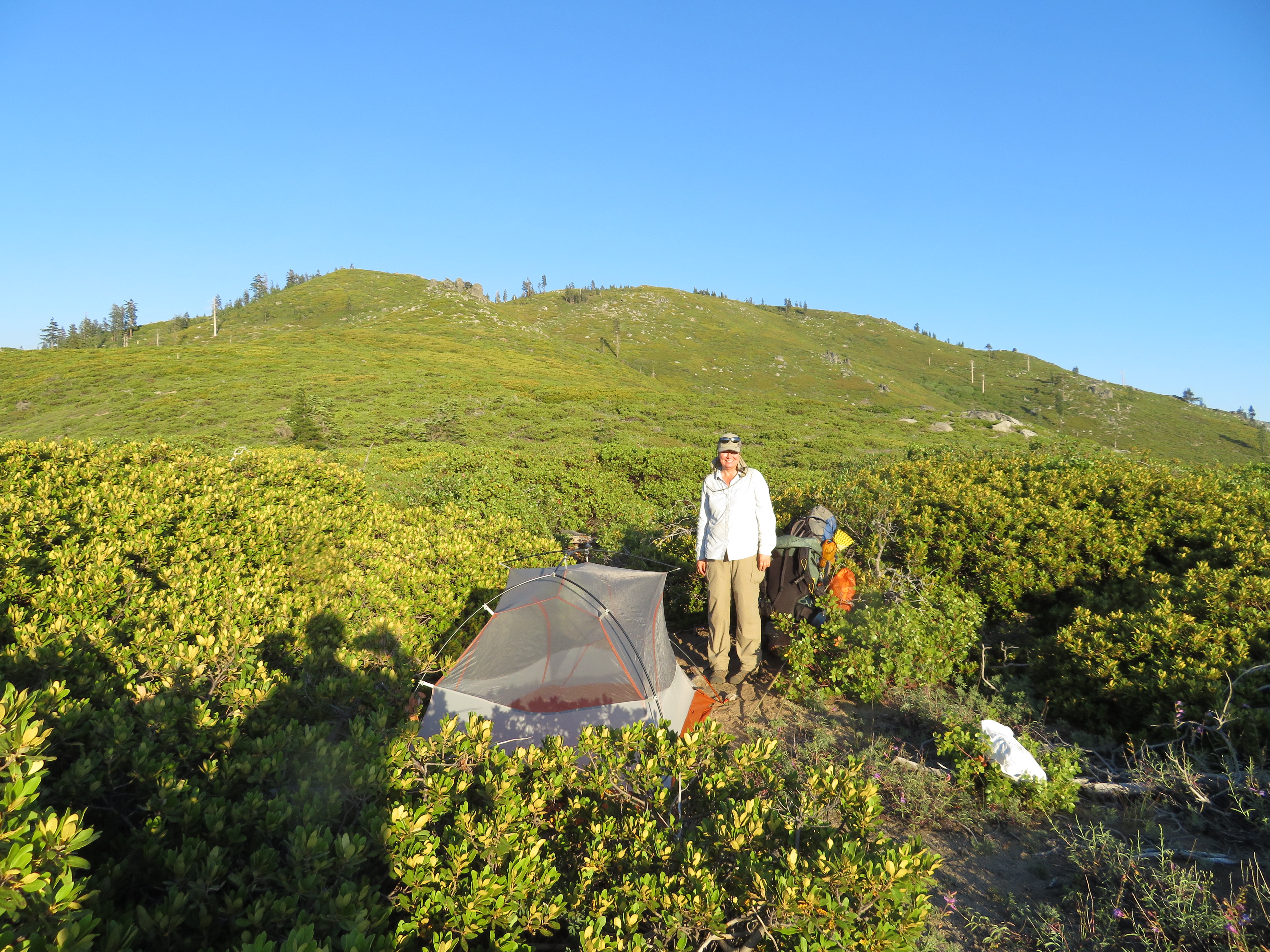
Carols Camp
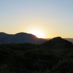
We have found home for the night. It is 7:45 so we do not delay in setting up our tent. The spot is actually very cool. It is secluded from the trail by the bushes, has great views down to Belden and all around, a nice cool breeze, and no bugs or mosquitos. We settle in and get to watch the sun set over the mountains to the west of us. Tomorrow could be a challenging day so it is time for us to get some rest.
Todays stats are 14.6 miles hiked at an average pace of 2.6MPH. We started at an elevation of 5520 feet and are camped at 5410 feet. In between we reached our high point of the day at 6968 feet. Other than getting stung, this was a very good day.
-
- Heading to Belden
-
- First Views of the Day
-
- Mountain Meadow
-
- Pond Water for Free
-
- Haze in the Valley
-
- Pit Stop Moving Along
-
- Silver Lake 1000 Feet Below
-
- Silver Lake Close Up
-
- Ridge Views
-
- Not So Clear Creek
-
- Beating Feet
-
- Looking Back
-
- Belden Below
-
- Carol Chose Wisely
-
- Our Sun Set
No Comments Yet